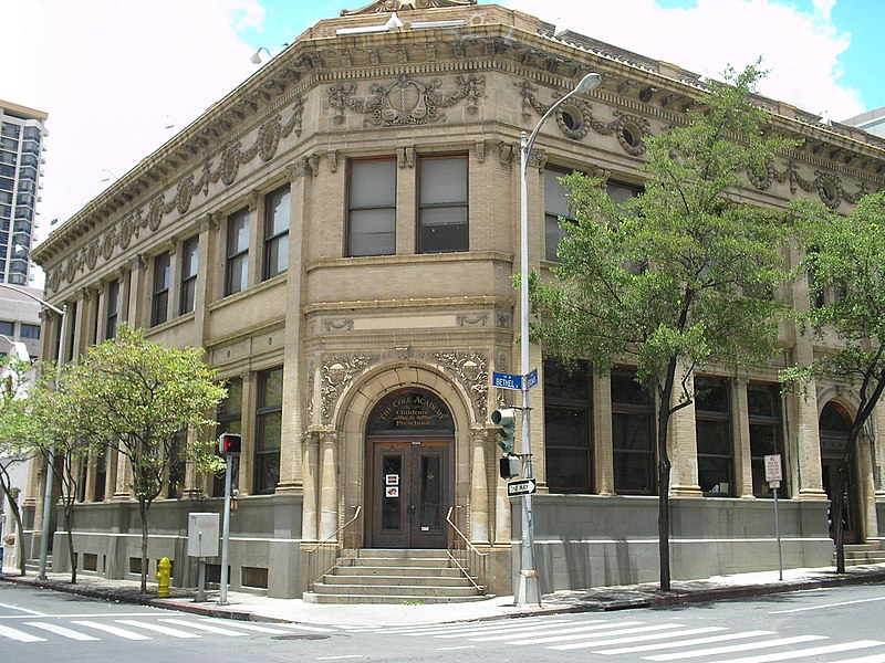
Merchant Street Historic District, Honolulu
Map
Gallery
Facts and practical information
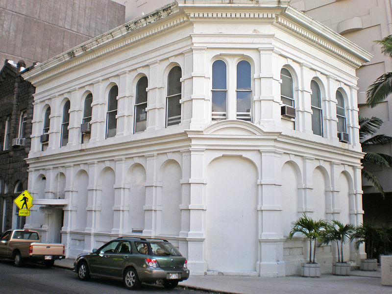
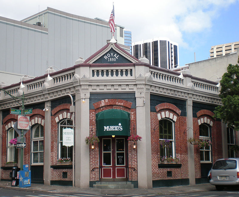
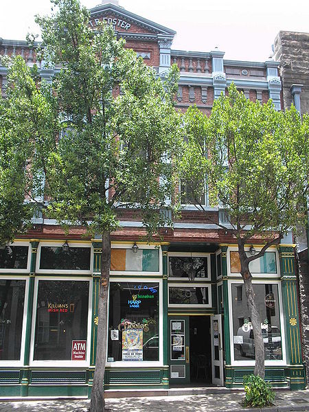
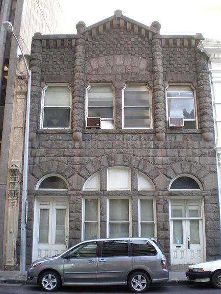
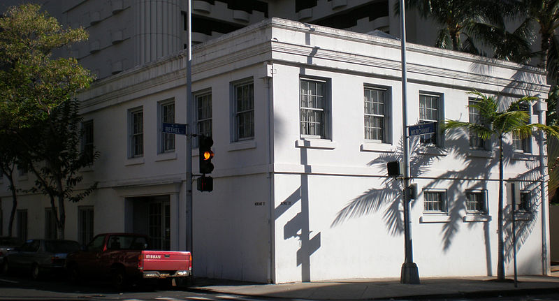
The Merchant Street Historic District in Honolulu, Hawaii, was the city's earliest commercial center. ()
Coordinates: 21°18'33"N, 157°51'47"W
Address
Downtown HonoluluHonolulu
ContactAdd
Social media
Add
Day trips
Merchant Street Historic District – popular in the area (distance from the attraction)
Nearby attractions include: Aloha Tower Marketplace, Ala Moana Center, Aloha Tower, Statues of Kamehameha I.
Frequently Asked Questions (FAQ)
Which popular attractions are close to Merchant Street Historic District?
Nearby attractions include Kapuāiwa Building, Honolulu (1 min walk), Melchers Building, Honolulu (1 min walk), Hawaii State Public Library System, Honolulu (1 min walk), First Hawaiian Center, Honolulu (3 min walk).
How to get to Merchant Street Historic District by public transport?
The nearest stations to Merchant Street Historic District:
Bus
Bus
- Queen Street + Fort Street Mall • Lines: 4 (2 min walk)
- South King Street + Bethel Street • Lines: 101, 102, 103, 19, 1L, 20, 2L, 4, 40, 42, 43, 81, 83, 84, 84A, 90, 91, 92, 93, 96, 97, 98, 98A, A, C (2 min walk)


