Montbello, Denver

Map
Facts and practical information
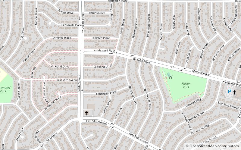
Montbello is a neighborhood in the northeastern section City and County of Denver, Colorado. Montbello is one of Denver's largest neighborhoods, with over 9,000 housing units, and over 30,000 residents. ()
Coordinates: 39°47'37"N, 104°49'58"W
Address
Northeast Denver (Montbello)Denver
ContactAdd
Social media
Add
Day trips
Montbello – popular in the area (distance from the attraction)
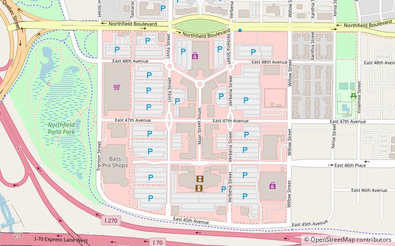
Nearby attractions include: Dick's Sporting Goods Park, Wings Over the Rockies Air & Space Museum, The Shops at Northfield, Rocky Mountain Arsenal National Wildlife Refuge.
Frequently Asked Questions (FAQ)
How to get to Montbello by public transport?
The nearest stations to Montbello:
Bus
Bus
- Montbello RTD Park-N-Ride (28 min walk)


