West Broad Street Commercial Historic District, Richmond
Facts and practical information
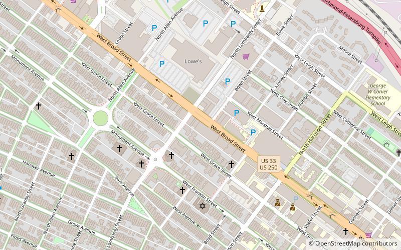
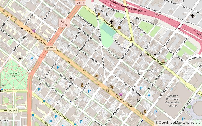
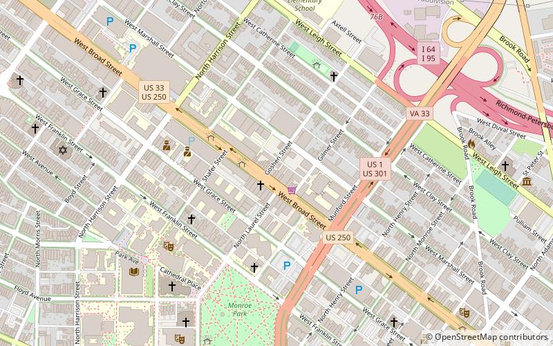
The West Broad Street Commercial Historic District is a national historic district located at Richmond, Virginia. The district encompasses 20 contributing buildings built between about 1900 and the late 1930s. Located in the district is the Forbes Motor Car Company, Harper-Overland Company building, Firestone Building, Engine Company No. 10 Firehouse, and the Saunders Station Post Office. The majority of the buildings are two-to-four stories in height and are composed of brick with stucco, stone and metal detailing. Located in the district is the separately listed The Coliseum-Duplex Envelope Company Building. ()
Fan - Oregon Hill - Carver (The Fan)Richmond
- Bus
 Bus
Bus
- Calculate routeCary & Harrison 17 min walk
- Calculate routeMain & Stafford 22 min walk
- Calculate routeFlixBus Richmond 26 min walk
West Broad Street Commercial Historic District – popular in the area (distance from the attraction)
Nearby attractions include: Siegel Center, J. E. B. Stuart Monument, Cathedral of the Sacred Heart, Science Museum of Virginia.


Frequently Asked Questions (FAQ)
Which popular attractions are close to West Broad Street Commercial Historic District?
How to get to West Broad Street Commercial Historic District by public transport?
Bus
- Cary & Harrison • Lines: 5 (17 min walk)
- Main & Stafford • Lines: 78 (22 min walk)