Lower Mount Cammerer Trail
Map

Gallery

Facts and practical information
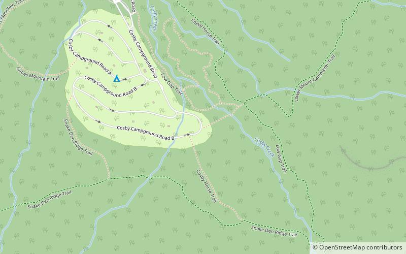
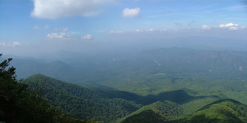
The Lower Mount Cammerer Trail is an American hiking trail, in the Great Smoky Mountains National Park of Cocke County, Tennessee. The trail ascends Mount Cammerer, leading to a small, untraditional firetower at the summit, from which panoramic views of Cocke County, the main range of the Great Smoky Mountains, and the dominating presence of Mount Guyot are all prominent. ()
Coordinates: 35°45'7"N, 83°12'18"W
Location
Tennessee
ContactAdd
Social media
Add
Day trips
Lower Mount Cammerer Trail – popular in the area (distance from the attraction)
Nearby attractions include: Mount Cammerer, Snake Den Ridge Trail, Mount Sterling, Maddron Bald Trail.


