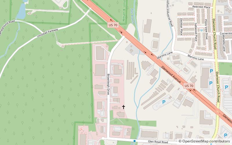
Umstead Park United Church of Christ, Raleigh
Map
Facts and practical information
Umstead Park United Church of Christ is a progressive congregation located next to the William B. Umstead State Park in Raleigh, North Carolina. ()
Coordinates: 35°53'12"N, 78°44'54"W
Address
Northwest RaleighRaleigh
ContactAdd
Social media
Add
Getting there by public transportation
Public transportation stops near this location
- Bus
 Bus
Bus
- Calculate routeGlen Royal Rd at Brownleigh Dr 8 min walk
- Calculate routeEbenezer Church Rd at Winchester Dr 13 min walk
Day trips


Frequently Asked Questions (FAQ)
How to get to Umstead Park United Church of Christ by public transport?
The nearest stations to Umstead Park United Church of Christ:
Bus
Bus
- Glen Royal Rd at Brownleigh Dr • Lines: 70X (8 min walk)
- Ebenezer Church Rd at Winchester Dr • Lines: 70X (13 min walk)