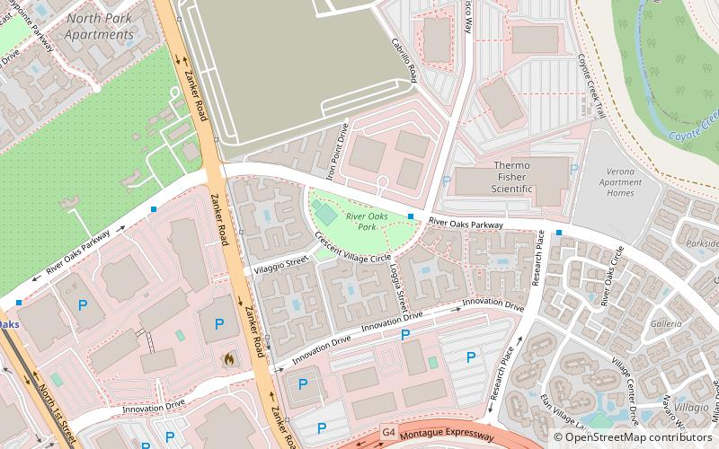
River Oaks Park, San Jose
Map
Facts and practical information
River Oaks Park is a park in San Jose, California, located in the Rincon district of North San Jose ()
Elevation: 23 ft a.s.l.Coordinates: 37°24'13"N, 121°55'51"W
Address
North San JoseSan Jose
ContactAdd
Social media
Add
Getting there by public transportation
Public transportation stops near this location
- Bus
- Light rail
 Bus
Bus
- Calculate routeRiver Oaks Parkway & Cisco Way 2 min walk
- Calculate routeMontague Expressway & Zanker Road 10 min walk
- Calculate routeRiver Oaks 13 min walk
- Calculate routeCisco Way 16 min walk
- Calculate routeOrchard 17 min walk
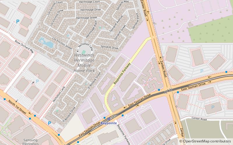
- Calculate routeBaypointe 20 min walk
Day trips


Frequently Asked Questions (FAQ)
Which popular attractions are close to River Oaks Park?
Nearby attractions include Moitozo Park, San Jose (15 min walk), James Lick Mansion, Santa Clara (19 min walk), University of Silicon Valley, San Jose (23 min walk).
How to get to River Oaks Park by public transport?
The nearest stations to River Oaks Park:
Bus
Light rail
Bus
- River Oaks Parkway & Cisco Way • Lines: 828 (2 min walk)
- Montague Expressway & Zanker Road • Lines: 828 (10 min walk)
Light rail
- River Oaks • Lines: Blue, Green (13 min walk)
- Cisco Way • Lines: Orange (16 min walk)