Jarvis Square, Chicago
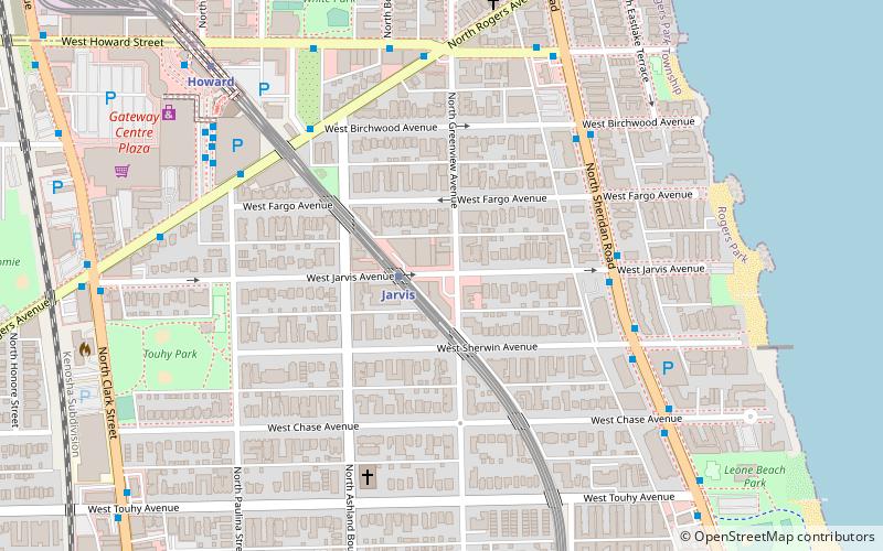
Map
Facts and practical information
Jarvis Square is a small commercial district within the Rogers Park neighborhood on Chicago's North Side. ()
Coordinates: 42°0'58"N, 87°40'6"W
Address
Far North Side (Rogers Park)Chicago
ContactAdd
Social media
Add
Getting there by public transportation
Public transportation stops near this location
- Metro
- Bus
- Train
 Metro
Metro
- Calculate routeJarvis 1 min walk
- Calculate routeHoward 8 min walk
- Calculate routeMorse 15 min walk
- Calculate routeSouth Boulevard 25 min walk
- Calculate routeSheridan & Jarvis SB 5 min walk
- Calculate routeRogers & Ashland 6 min walk
- Calculate routeRogers Park 15 min walk
Maps Rail "L"
Rail "L"Day trips


Frequently Asked Questions (FAQ)
Which popular attractions are close to Jarvis Square?
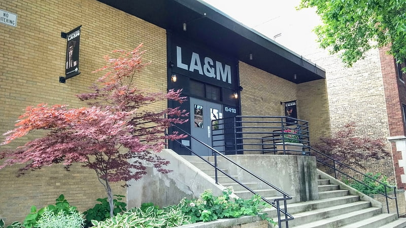
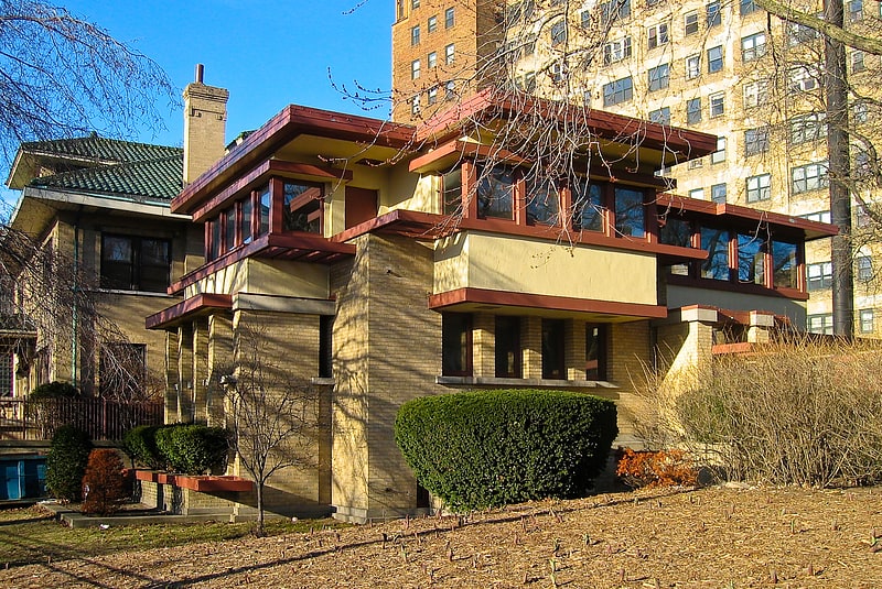
Nearby attractions include Emil Bach House, Chicago (5 min walk), Rogers Park, Chicago (12 min walk), Brummel Park, Evanston (20 min walk), Tudor Manor, Evanston (21 min walk).
How to get to Jarvis Square by public transport?
The nearest stations to Jarvis Square:
Metro
Bus
Train
Metro
- Jarvis • Lines: Red (1 min walk)
- Howard • Lines: Purple, Red, Yellow (8 min walk)
Bus
- Sheridan & Jarvis SB • Lines: 147 (5 min walk)
- Rogers & Ashland • Lines: 147 (6 min walk)
Train
- Rogers Park (15 min walk)