Haviland and Elizabeth Streets–Hanford Place Historic District, Norwalk
Map

Map

Facts and practical information
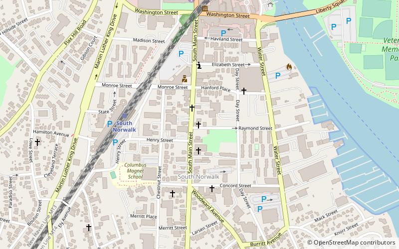
The Haviland and Elizabeth Streets–Hanford Place Historic District is an irregularly shaped 4.3-acre historic district in Norwalk, Connecticut that was listed on the National Register of Historic Places in 1988. It encompasses a neighborhood that developed in the late 19th century following the introduction of railroad service to South Norwalk. ()
Architectural style: Renaissance revivalCoordinates: 41°5'49"N, 73°25'7"W
Address
South NorwalkNorwalk
ContactAdd
Social media
Add
Day trips
Haviland and Elizabeth Streets–Hanford Place Historic District – popular in the area (distance from the attraction)
Nearby attractions include: Maritime Aquarium at Norwalk, Calf Pasture Beach, Stepping Stones Museum for Children, Lockwood-Mathews Mansion Museum.
Frequently Asked Questions (FAQ)
Which popular attractions are close to Haviland and Elizabeth Streets–Hanford Place Historic District?
Nearby attractions include Saint Joseph Church, Norwalk (3 min walk), South Norwalk Railroad Bridge, Norwalk (4 min walk), Beth Israel Synagogue, Norwalk (7 min walk), Norwalk River, Norwalk (8 min walk).
How to get to Haviland and Elizabeth Streets–Hanford Place Historic District by public transport?
The nearest stations to Haviland and Elizabeth Streets–Hanford Place Historic District:
Train
Train
- South Norwalk (5 min walk)
- East Norwalk (23 min walk)


