Engleton, Harrisburg

Map
Facts and practical information
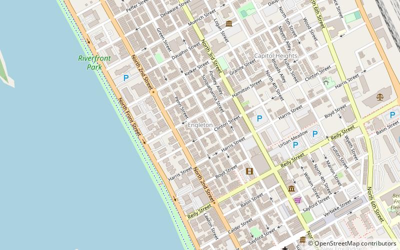
Engleton is a section of the Midtown Harrisburg, Pennsylvania neighborhood. It is bounded by 2nd street to the west, Kelker Street to the north, 3rd street to the east and Reily Street to the south. Its Queen Anne style homes were built in the 1890s by Benjamin Engle, who is the namesake of the area. Market appeal for these homes was created by varying the colors and treatments of the façades. ()
Coordinates: 40°16'23"N, 76°53'37"W
Address
Midtown (Old Uptown Historic District)Harrisburg
ContactAdd
Social media
Add
Day trips
Engleton – popular in the area (distance from the attraction)
Nearby attractions include: Pennsylvania Farm Show, Pennsylvania State Capitol, Strawberry Square, Cathedral of Saint Patrick.
Frequently Asked Questions (FAQ)
Which popular attractions are close to Engleton?
Nearby attractions include Old Uptown Historic District, Harrisburg (3 min walk), Old Midtown Historic District, Harrisburg (5 min walk), Pennsylvania National Fire Museum, Harrisburg (7 min walk), Hardscrabble, Harrisburg (7 min walk).
How to get to Engleton by public transport?
The nearest stations to Engleton:
Bus
Train
Bus
- Harrisburg (28 min walk)
- Market Street Transfer Station (29 min walk)
Train
- Harrisburg (29 min walk)


