Tompkins Circle, New York City
Map
Facts and practical information
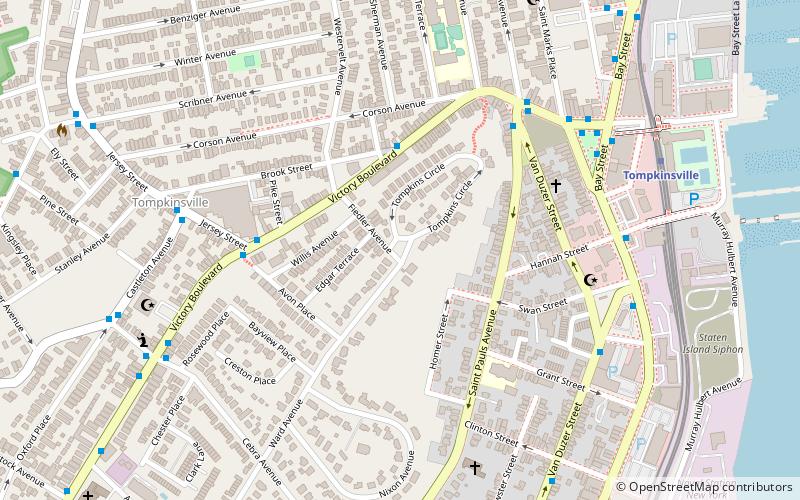
Tompkins Circle is a.131-acre green public space within a traffic circle in the Grymes Hill neighborhood of Staten Island, New York. The circle is located in a section of the neighborhood historically known as Pavilion Hill. At this traffic circle, the Tompkins Circle loop merges with Fiedler Avenue and Ward Avenue. ()
Elevation: 154 ft a.s.l.Coordinates: 40°38'9"N, 74°4'50"W
Address
North Shore (Tompkinsville)New York City
ContactAdd
Social media
Add
Getting there by public transportation
Public transportation stops near this location
- Metro
- Bus
- Ferry
 Metro
Metro
- Calculate routeVictory Boulevard & Jersey Street 5 min walk
- Calculate routeVictory Boulevard & Saint Marks Place 7 min walk
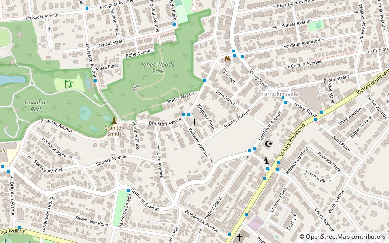
- Calculate routeCastleton Avenue & Jersey Street 7 min walk
- Calculate routeTompkinsville 8 min walk
- Calculate routeStapleton 16 min walk
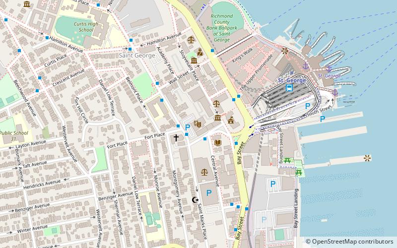
- Calculate routeSt. George 18 min walk
- Calculate routeSt. George 19 min walk
Maps SubwayMaps
 Manhattan Buses
SubwayMapsManhattan BusesDay trips


Frequently Asked Questions (FAQ)
Which popular attractions are close to Tompkins Circle?
Nearby attractions include Caleb T. Ward Mansion, New York City (6 min walk), St. Paul's Memorial Church, New York City (7 min walk), Fort Hill Park, New York City (10 min walk), Brighton Heights Reformed Church, New York City (12 min walk).
How to get to Tompkins Circle by public transport?
The nearest stations to Tompkins Circle:
Bus
Metro
Ferry
Bus
- Victory Boulevard & Jersey Street • Lines: S46, S48, S61, S62, S66 (5 min walk)
- Victory Boulevard & Saint Marks Place • Lines: S78, S91, S92, S96, S98 (7 min walk)
Metro
- Tompkinsville • Lines: Sir (8 min walk)
- Stapleton • Lines: Sir (16 min walk)
Ferry
- St. George • Lines: Sif (19 min walk)