Kay Street–Catherine Street–Old Beach Road Historic District, Newport

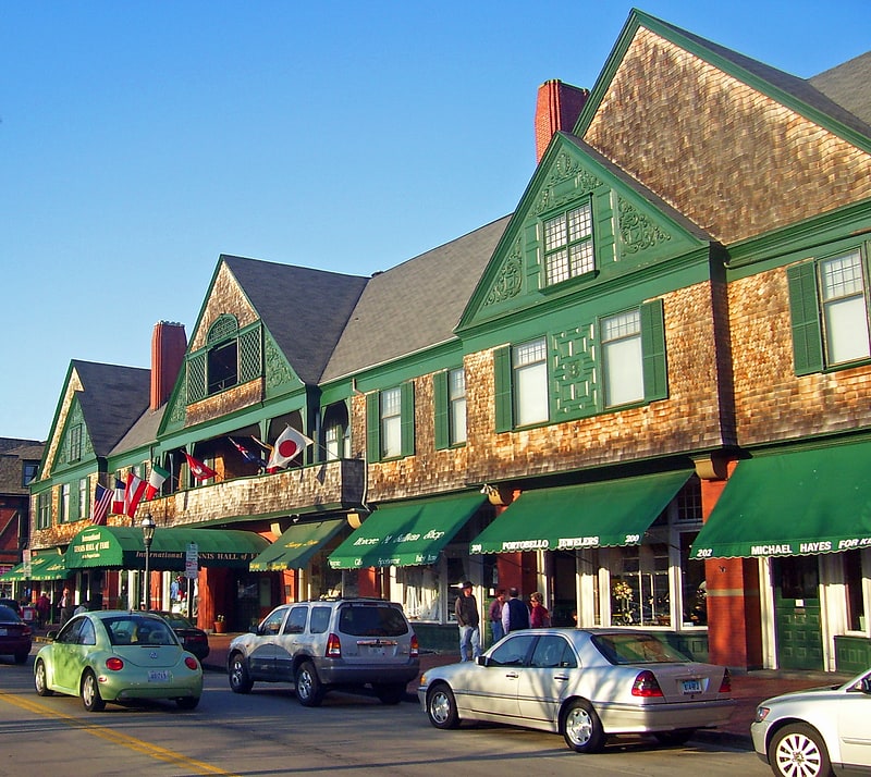
Gallery (1)
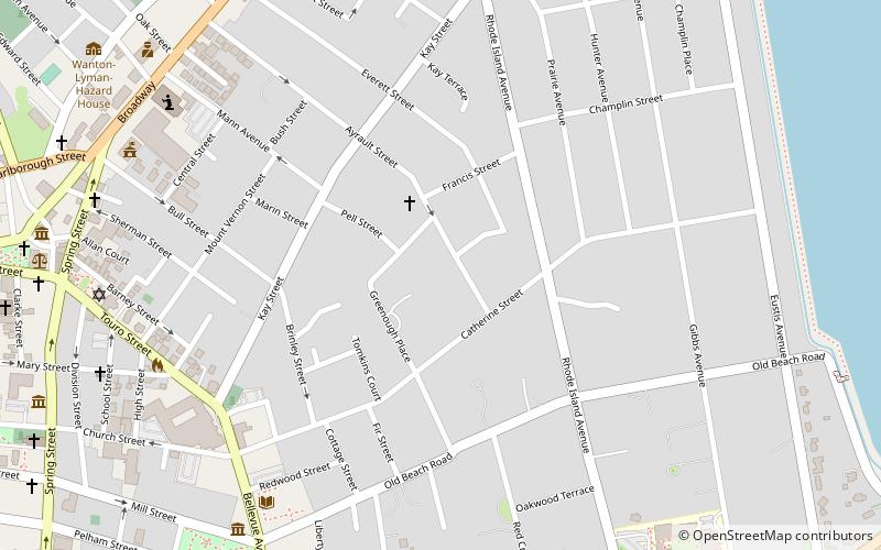
Map
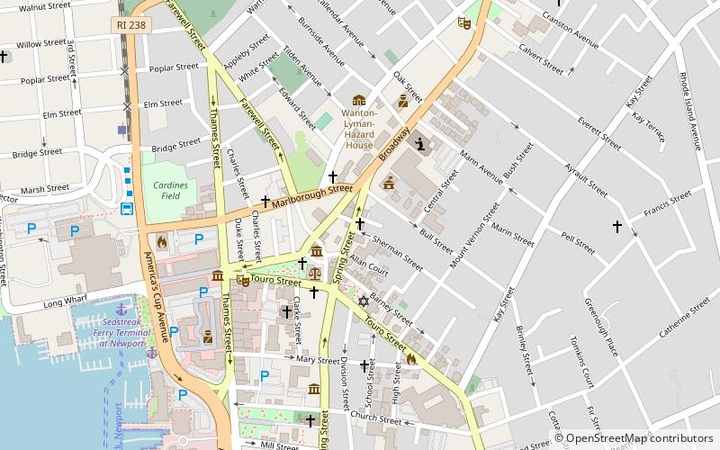
Map
Facts and practical information
The Kay Street–Catherine Street–Old Beach Road Historic District is a historic district in Newport, Rhode Island. The area is located north of Newport's well-known Bellevue Avenue, and encompasses an area that was developed residentially between about 1830 and 1890, for the most part before the Gilded Age mansions were built further south. The district is bounded on the south by Memorial Boulevard, on the east by Easton's Pond, on the west by Bellevue Avenue and Kay and Bull Streets, and on the north by Broadway, Rhode Island Avenue, Prairie Avenue, and Champlin Street. The district was added to the National Register of Historic Places on May 22, 1973, with a boundary decrease in 2018. ()
Coordinates: 41°29'23"N, 71°18'19"W
Address
Kay-CatherineNewport
ContactAdd
Social media
Add
Getting there by public transportation
Public transportation stops near this location
- Bus
 Bus
Bus
- Calculate routeNewport Gateway Center Stop C 17 min walk
- Calculate routeNewport Gateway Center Stop D 17 min walk
Day trips


Frequently Asked Questions (FAQ)
Which popular attractions are close to Kay Street–Catherine Street–Old Beach Road Historic District?
Nearby attractions include Touro Cemetery, Newport (7 min walk), Redwood Library and Athenaeum, Newport (8 min walk), Newport Art Museum, Newport (9 min walk), John N. A. Griswold House, Newport (9 min walk).
How to get to Kay Street–Catherine Street–Old Beach Road Historic District by public transport?
The nearest stations to Kay Street–Catherine Street–Old Beach Road Historic District:
Bus
Bus
- Newport Gateway Center Stop C • Lines: 60 (17 min walk)
- Newport Gateway Center Stop D • Lines: 14 (17 min walk)