Nichols Canyon, Burbank
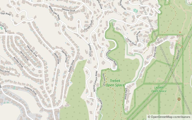
Map
Facts and practical information
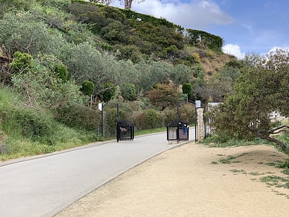
Nichols Canyon is a residential area in the Hollywood Hills in Los Angeles, California, bounded by Hollywood Boulevard on the south and Mulholland Drive on the north, lying between Laurel Canyon and. It was also known as Miller Canyon. ()
Coordinates: 34°6'51"N, 118°21'39"W
Address
Central Los Angeles (Hollywood Hills West)Burbank
ContactAdd
Social media
Add
Day trips
Nichols Canyon – popular in the area (distance from the attraction)
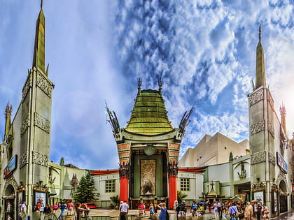
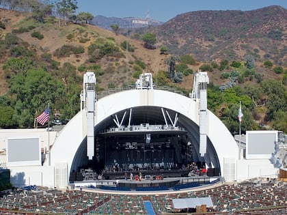
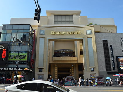
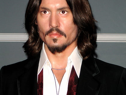
Nearby attractions include: Grauman's Chinese Theatre, Hollywood Bowl, Dolby Theatre, Madame Tussauds Hollywood.
Frequently Asked Questions (FAQ)
Which popular attractions are close to Nichols Canyon?
Nearby attractions include Hollywood Hills West, Burbank (14 min walk), Runyon Canyon Park, Los Angeles (15 min walk), Garcia House, Santa Monica Mountains National Recreation Area (15 min walk), Wattles Mansion, Los Angeles (15 min walk).
How to get to Nichols Canyon by public transport?
The nearest stations to Nichols Canyon:
Bus
Bus
- Hollywood/Fuller • Lines: 217 (28 min walk)
- Sunset & Fairfax • Lines: 2 (29 min walk)
