Eagledale, Indianapolis
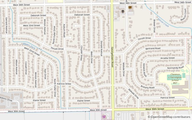
Map
Facts and practical information
Eagledale is the name of a neighborhood on the west side of Indianapolis, Indiana. Eagledale is primarily suburban in nature, consisting of ranch homes built in the 1950s and 1960s by National Homes, which was based out of Lafayette, Indiana. This is one of the few suburban neighborhoods that the city of Indianapolis annexed prior to the 1970 consolidation of city and county governments known as Unigov. ()
Coordinates: 39°48'46"N, 86°14'29"W
Address
West Side (Eagledale)Indianapolis
ContactAdd
Social media
Add
Day trips
Eagledale – popular in the area (distance from the attraction)
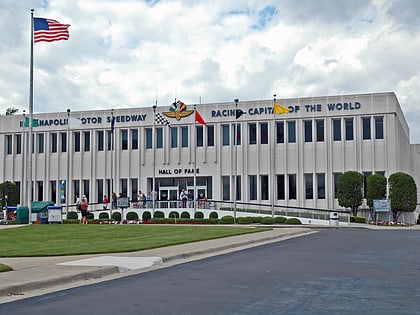
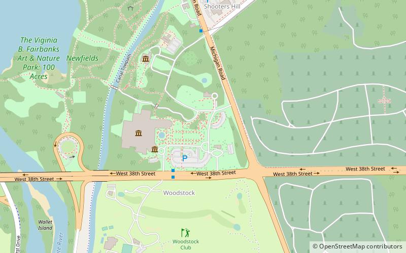
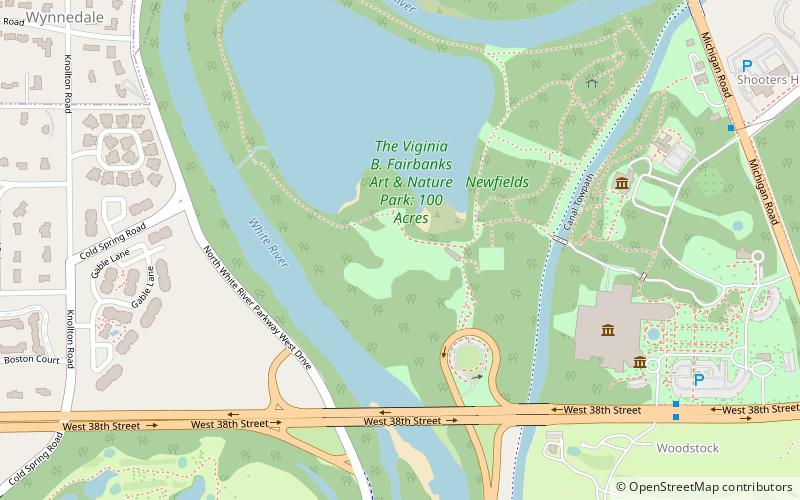
Nearby attractions include: Indianapolis Museum of Art, Indianapolis Motor Speedway Museum, Oldfields, Lafayette Square Mall.
