Jerome Historic District, Jerome
Map
Gallery

Facts and practical information
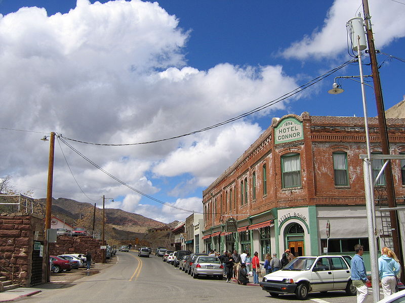
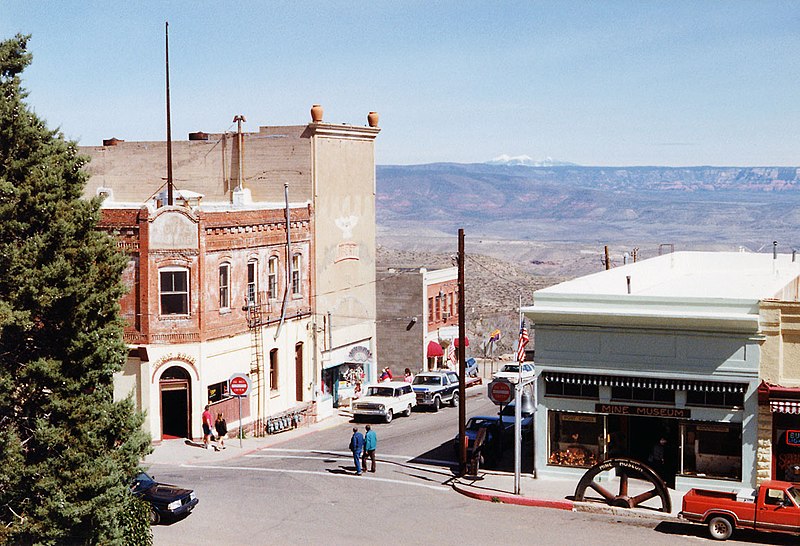
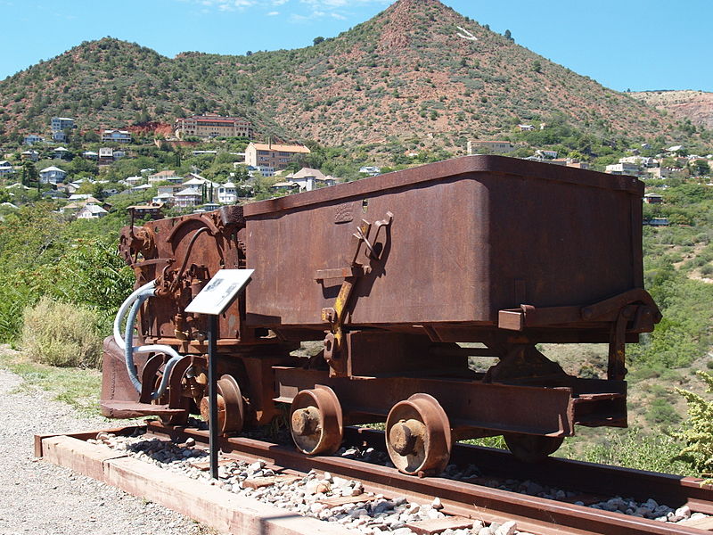
The Jerome Historic District is a National Historic Landmark District encompassing the former mining community of Jerome, Arizona. The town was founded as a mining camp associated with copper deposits that were mined from the late 19th century until 1953. The district was declared a National Historic Landmark in 1966 and was included into the then-new National Register of Historic Places. ()
Coordinates: 34°45'13"N, 112°6'41"W
Address
Jerome
ContactAdd
Social media
Add
Day trips
Jerome Historic District – popular in the area (distance from the attraction)
Nearby attractions include: Verde Canyon Railroad, Jerome State Historic Park, Arizona Copper Art Museum, Mingus Mountain.
Frequently Asked Questions (FAQ)
Which popular attractions are close to Jerome Historic District?
Nearby attractions include Jerome State Historic Park, Jerome (1 min walk), Puscifer The Store, Jerome (8 min walk).


