Factoria, Bellevue

Map
Facts and practical information
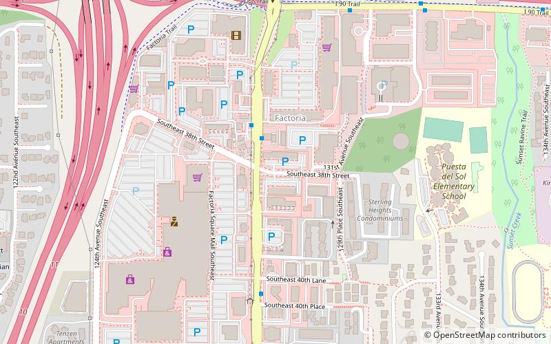
Factoria is a mixed-use suburban neighborhood in south Bellevue, Washington and is one of the city's significant commercial districts. Originally timberland from the 1890s to 1920s and later envisioned as an industrial center, Factoria has since the 1960s evolved into commercial and residential development. Factoria was annexed into Bellevue in 1993. The core neighborhood is bounded by Interstate 90 to the north, Interstate 405 to the west, Newport Way to the east, and Coal Creek Parkway to the south. ()
Coordinates: 47°34'34"N, 122°10'8"W
Address
FactoriaBellevue
ContactAdd
Social media
Add
Day trips
Factoria – popular in the area (distance from the attraction)
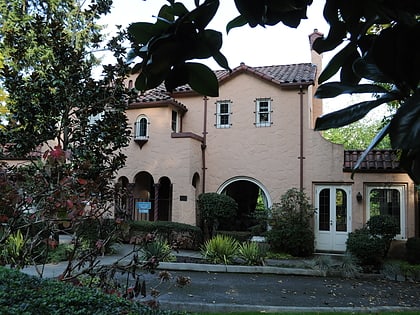
Nearby attractions include: Marketplace at Factoria, Frederick W. Winters House, East Shore Gallery, Bellevue College.
Frequently Asked Questions (FAQ)
How to get to Factoria by public transport?
The nearest stations to Factoria:
Bus
Bus
- Factoria Blvd SE & SE 38th St • Lines: 240, 241, 245, 246 (2 min walk)
- SE 36th St & 131st Ave SE • Lines: 245 (7 min walk)


