Ogontz, Philadelphia
Map
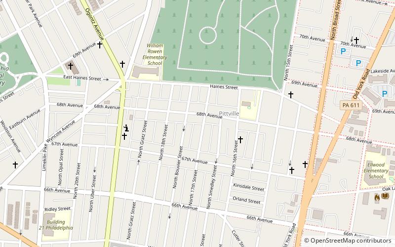
Map

Facts and practical information
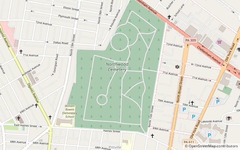
Ogontz/Belfield is a neighborhood in Upper Northern Philadelphia that is located adjacent to West Oak Lane, East Germantown, Logan, and Fern Rock, Philadelphia. ()
Coordinates: 40°3'25"N, 75°8'46"W
Address
Upper North District (West Oak Lane)Philadelphia
ContactAdd
Social media
Add
Day trips
Ogontz – popular in the area (distance from the attraction)
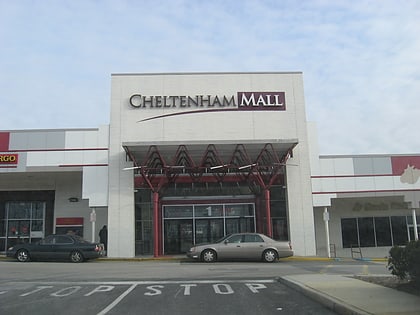
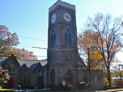
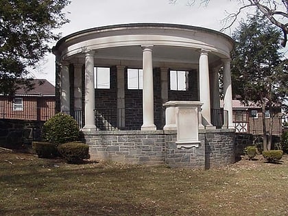
Nearby attractions include: Cheltenham Square Mall, Old York Road, St. Paul's Episcopal Church, St. Jude Syro Malankara Catholic Church.
Frequently Asked Questions (FAQ)
Which popular attractions are close to Ogontz?
Nearby attractions include West Oak Lane, Philadelphia (4 min walk), Northwood Cemetery, Philadelphia (8 min walk), Gen. Louis Wagner Middle School, Philadelphia (10 min walk), John L. Kinsey School, Philadelphia (11 min walk).
How to get to Ogontz by public transport?
The nearest stations to Ogontz:
Train
Metro
Train
- Melrose Park (24 min walk)
- Fern Rock Transportation Center (32 min walk)
Metro
- Fern Rock Transportation Center • Lines: Bsl (30 min walk)
 SEPTA Regional Rail