Heritage, Greenville
Map
Facts and practical information
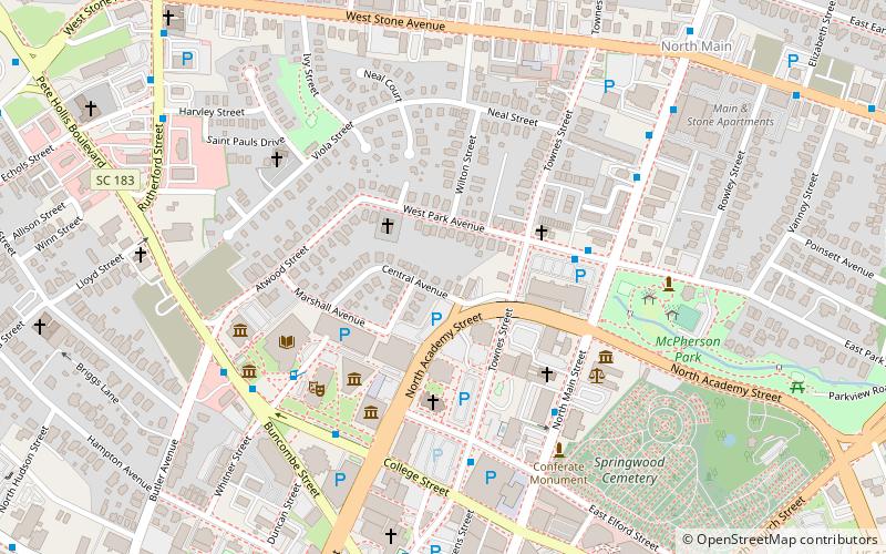
Heritage is a neighborhood located in Greenville, South Carolina. Located northwest of the city, it is home to the St. George Greek Orthodox Church and was once home to a dairy. ()
Coordinates: 34°51'29"N, 82°23'56"W
Address
Central Greenville (Viola Street Area)Greenville
ContactAdd
Social media
Add
Getting there by public transportation
Public transportation stops near this location
- Bus
- Train
 Bus
Bus
- Calculate routePark Ave @ Bi-Lo 4 min walk
- Calculate routeParker @ Main St 5 min walk
- Calculate routeTowers East Apts 5 min walk
- Calculate routeLandmark Building 6 min walk
- Calculate routeGreenville 22 min walk
Day trips


Frequently Asked Questions (FAQ)
Which popular attractions are close to Heritage?
Nearby attractions include Old Beth Israel Synagogue, Greenville (2 min walk), Greenville County Museum of Art, Greenville (4 min walk), The Children's Museum of the Upstate, Greenville (5 min walk), Upcountry History Museum, Greenville (6 min walk).
How to get to Heritage by public transport?
The nearest stations to Heritage:
Bus
Train
Bus
- Park Ave @ Bi-Lo • Lines: 11K, 12L (4 min walk)
- Parker @ Main St • Lines: 11K (5 min walk)
Train
- Greenville (22 min walk)