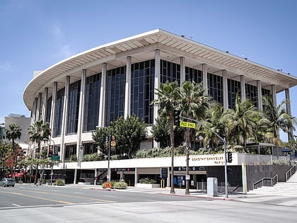
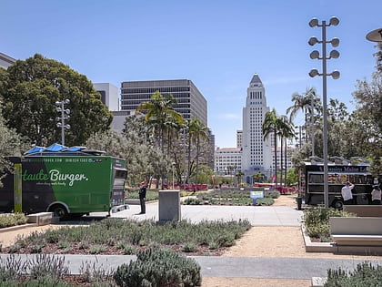
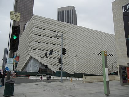
Hill Street, Los Angeles
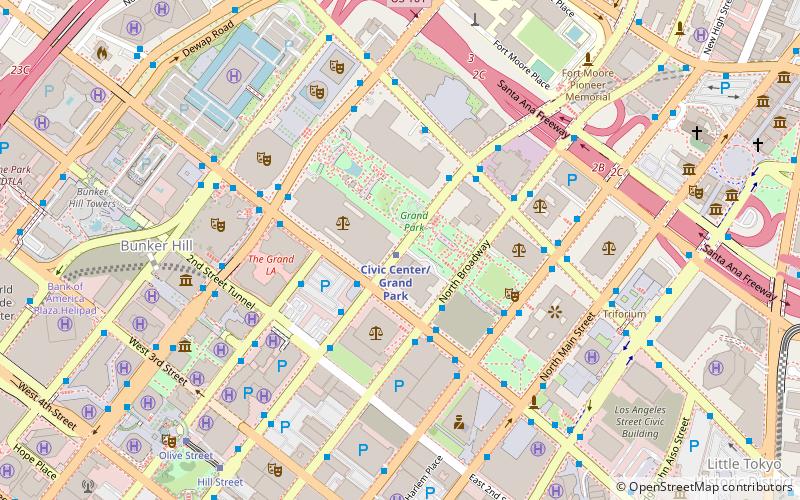
Map
Gallery
Facts and practical information
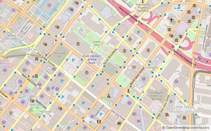
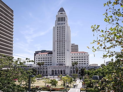
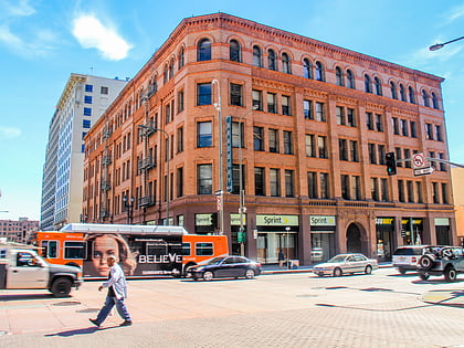
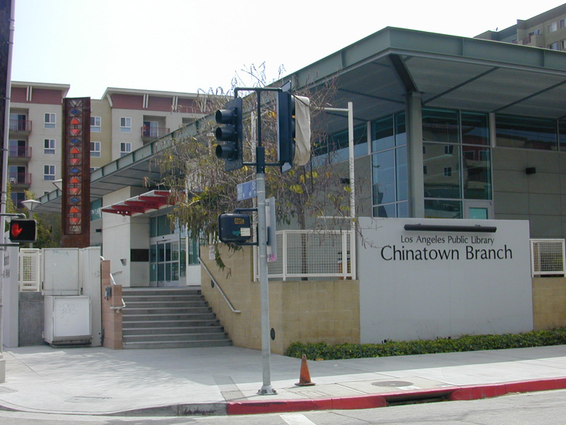
Hill Street is a major north–south thoroughfare in Los Angeles, measuring 4.8 miles in length. It starts on Martin Luther King, Jr. Boulevard near the campus of USC, and passes north through Downtown Los Angeles, past such landmarks as Pershing Square, the Subway Terminal Building, Angels Flight, Fort Moore and Chinatown. Hill Street merges with the Arroyo Seco Parkway near Dodger Stadium. ()
Coordinates: 34°3'18"N, 118°14'46"W
Address
Central Los Angeles (Downtown Los Angeles)Los Angeles
ContactAdd
Social media
Add
Day trips
Hill Street – popular in the area (distance from the attraction)
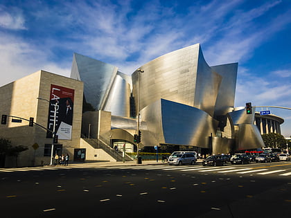
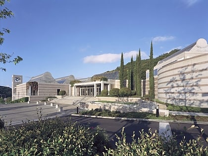
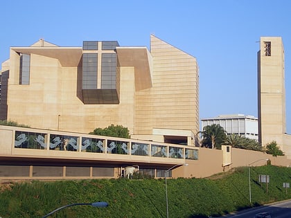
Nearby attractions include: Children's Museum of Los Angeles, Walt Disney Concert Hall, Skirball Cultural Center, Cathedral of Our Lady of the Angels.
Frequently Asked Questions (FAQ)
Which popular attractions are close to Hill Street?
Nearby attractions include Grand Park, Los Angeles (1 min walk), Civic Center, Los Angeles (3 min walk), Children's Museum of Los Angeles, Los Angeles (3 min walk), Los Angeles County Hall of Records, Los Angeles (3 min walk).
How to get to Hill Street by public transport?
The nearest stations to Hill Street:
Metro
Bus
Light rail
Train
Metro
- Civic Center/Grand Park • Lines: B, D (1 min walk)
- Pershing Square • Lines: B, D (12 min walk)
Bus
- Metro 10, 81, 90, 91, 94, 794 • Lines: 10 (1 min walk)
- 1st Street & Hill Street • Lines: J (2 min walk)
Light rail
- Union Station • Lines: L (17 min walk)
- 7th Street/Metro Center • Lines: A, E (22 min walk)
Train
- Los Angeles Union Station (18 min walk)

 Metro & Regional Rail