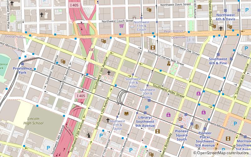
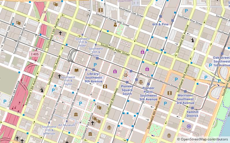
Block 216, Portland
Map

Map

Facts and practical information
Block 216 is the working name of an under construction high-rise building in downtown Portland, Oregon, United States. The 35-story building will replace the Alder Street food cart pod between 9th and 10th Avenues and Alder and Washington Streets. Block 216 will be 460 feet tall, becoming Portland's fifth-tallest structure. ()
Coordinates: 45°31'15"N, 122°40'60"W
Address
Downtown PortlandPortland
ContactAdd
Social media
Add
Day trips
Block 216 – popular in the area (distance from the attraction)
Nearby attractions include: Crystal Ballroom, Jimmy Mak's, Nordstrom, First Presbyterian Church.
Frequently Asked Questions (FAQ)
Which popular attractions are close to Block 216?
Nearby attractions include First Presbyterian Church, Portland (2 min walk), 24 Hour Church of Elvis, Portland (2 min walk), Terminal Sales Building, Portland (2 min walk), Telegram Building, Portland (2 min walk).
How to get to Block 216 by public transport?
The nearest stations to Block 216:
Tram
Bus
Light rail
Train
Tram
- Southwest 11th & Alder • Lines: B, Ns (1 min walk)
- Southwest 10th & Alder • Lines: A, Ns (2 min walk)
Bus
- Southwest Morrison & 12th • Lines: 15, 51 (1 min walk)
- West Burnside & Southwest 13th • Lines: 20 (4 min walk)
Light rail
- Galleria/Southwest 10th Avenue • Lines: Blue, Red (3 min walk)
- Library/Southwest 9th Avenue • Lines: Blue, Red (4 min walk)
Train
- Portland Union Station (17 min walk)


