Fort Hoskins, Corvallis

Gallery (1)
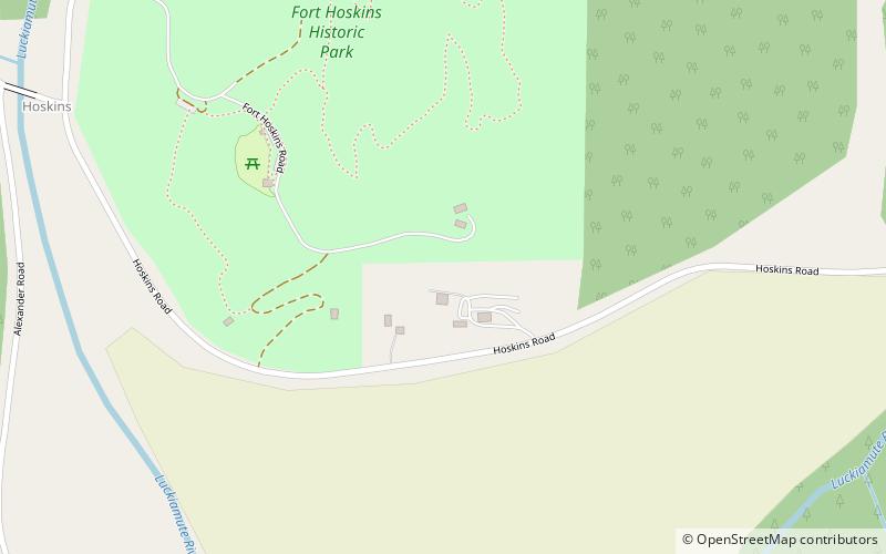
Map
Map
Facts and practical information
Fort Hoskins was one of three "forts" built by the U.S. Army to monitor the Coastal Indian Reservation in Oregon Territory in the mid- 19th century. The Fort Hoskins Site is listed on the National Register of Historic Places. Fort Hoskins was garrisoned by a number of companies of soldiers throughout its short existence, and future Union Civil War generals Christopher Columbus Augur and Phil Sheridan were stationed there. ()
Area: 130 acres (0.2031 mi²)Coordinates: 44°40'26"N, 123°27'36"W
Address
38150 Ft. Hoskins Rd, Philomath, ORCorvallis
Contact
+1 541-766-6871
Social media
Add
Day trips
Fort Hoskins – popular in the area (distance from the attraction)
Nearby attractions include: Airlie Winery.
