Middlesex Plat Historic District, Des Moines
Map

Map

Facts and practical information
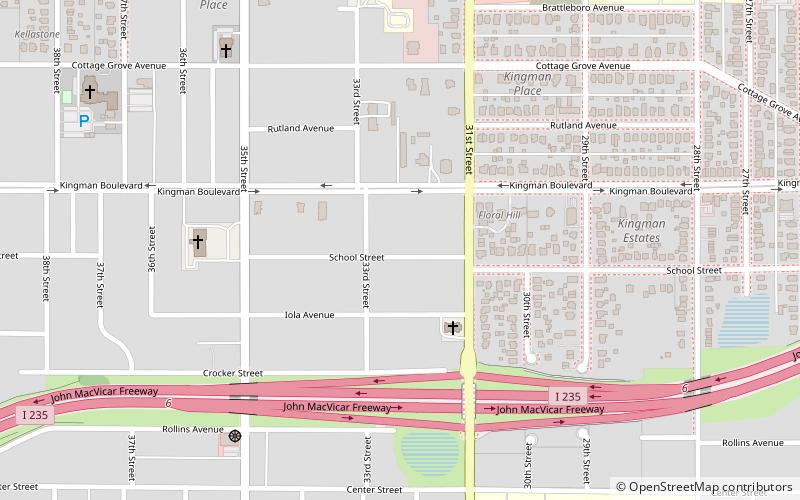
The Middlesex Plat Historic District is located in Des Moines, Iowa, United States. It was an upper-middle-class neighborhood of two-story square houses and bungalows that were built from 1910 to 1923. The district has been listed on the National Register of Historic Places since 2000. It is part of The Bungalow and Square House--Des Moines Residential Growth and Development MPS. ()
Coordinates: 41°35'44"N, 93°39'39"W
Address
DrakeDes Moines
ContactAdd
Social media
Add
Day trips
Middlesex Plat Historic District – popular in the area (distance from the attraction)
Nearby attractions include: Drake Stadium, Hoyt Sherman Place, Cottage Grove Avenue Presbyterian Church, Drake University.
Frequently Asked Questions (FAQ)
Which popular attractions are close to Middlesex Plat Historic District?
Nearby attractions include Greek Orthodox Church of St. George, Des Moines (8 min walk), Norman Apartment Building, Des Moines (9 min walk), David W. Smouse Opportunity School, Des Moines (11 min walk), Mary A. and Caleb D. Scott House, Des Moines (11 min walk).
How to get to Middlesex Plat Historic District by public transport?
The nearest stations to Middlesex Plat Historic District:
Bus
Bus
- University Ave & 31st St • Lines: 60 (9 min walk)


