Dayton View Historic District, Dayton
Map

Map

Facts and practical information
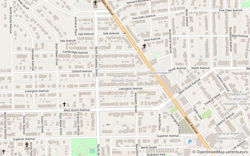
The Dayton View Historic District is a 680-acre sector of Dayton, Ohio, United States, developed in the late 19th century and consisting of 219 structures, that is listed on the National Register of Historic Places. ()
Coordinates: 39°46'7"N, 84°12'48"W
Address
Old Dayton ViewDayton
ContactAdd
Social media
Add
Day trips
Dayton View Historic District – popular in the area (distance from the attraction)
Nearby attractions include: Dayton Art Institute, Dayton Arcade, Wright Cycle Company, Benjamin F. Kuhns Building.
Frequently Asked Questions (FAQ)
Which popular attractions are close to Dayton View Historic District?
Nearby attractions include Steele's Hill–Grafton Hill Historic District, Dayton (11 min walk), Central Avenue Historic District, Dayton (12 min walk), Kenilworth Avenue Historic District, Dayton (14 min walk), Dayton Art Institute, Dayton (17 min walk).


