Weedin Place fallout shelter, Seattle
Map
Facts and practical information
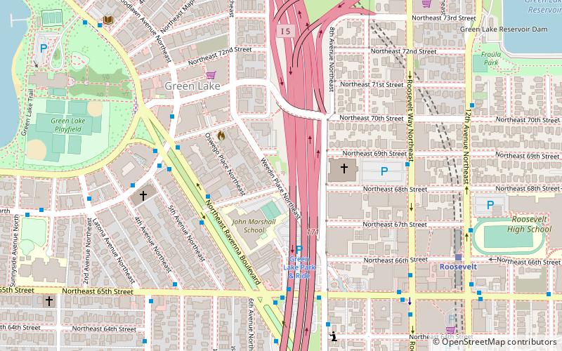
The Weedin Place Fallout Shelter is a disused fallout shelter in Seattle, Washington, United States. It was built in 1962–1963, under Interstate 5, to hold about 100 individuals. It had diesel generators and other survival features and was intended to be the prototype "for countless similar shelters that would be installed nationwide under interstate highways". ()
Coordinates: 47°40'42"N, 122°19'17"W
Address
Northwest Seattle (Green Lake)Seattle
ContactAdd
Social media
Add
Day trips
Weedin Place fallout shelter – popular in the area (distance from the attraction)
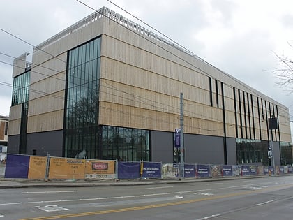
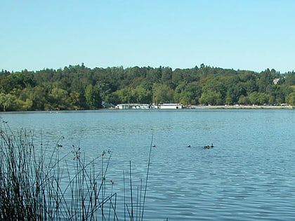
Nearby attractions include: University Village, Burke Museum, Green Lake, Ravenna Park.
Frequently Asked Questions (FAQ)
Which popular attractions are close to Weedin Place fallout shelter?
Nearby attractions include Cowen Park Bridge, Seattle (17 min walk), Green Lake, Seattle (20 min walk), 20th Avenue NE Bridge, Seattle (21 min walk), Blessed Sacrament Church, Seattle (22 min walk).
How to get to Weedin Place fallout shelter by public transport?
The nearest stations to Weedin Place fallout shelter:
Bus
Light rail
Bus
- NE Ravenna Blvd & NE 68th St • Lines: 45, 62 (4 min walk)
- NE 65th St & Oswego Pl NE • Lines: 45, 62, 64, 79 (5 min walk)
Light rail
- Roosevelt • Lines: 1 (8 min walk)

