New York Avenue Bridge, Washington D.C.
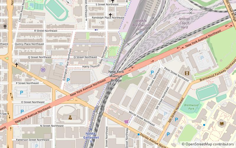
Map
Facts and practical information
The New York Avenue Bridge is a bridge carrying U.S. Route 50 and New York Avenue, NE over the Amtrak, CSX and WMATA rails in Washington, D.C. ()
Coordinates: 38°54'37"N, 77°0'4"W
Address
Northeast Washington (Eckington)Washington D.C.
ContactAdd
Social media
Add
Getting there by public transportation
Public transportation stops near this location
- Metro
- Bus
- Tram
- Train
 Metro
Metro
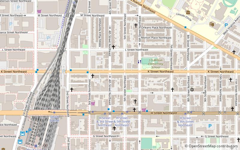
- Calculate routeNoMa–Gallaudet U 7 min walk
- Calculate routeRhode Island Avenue–Brentwood 21 min walk
- Calculate routeH Street & 3rd Street Northeast 18 min walk
- Calculate routeUnion Station 19 min walk
- Calculate routeF 19 min walk
- Calculate routeE 19 min walk
- Calculate routeD 19 min walk
- Calculate routeC 19 min walk
- Calculate routeWashington Union Station 22 min walk
Day trips


Frequently Asked Questions (FAQ)
Which popular attractions are close to New York Avenue Bridge?
Nearby attractions include Union Market, Washington D.C. (6 min walk), Eckington, Washington D.C. (9 min walk), Woodward & Lothrop Service Warehouse, Washington D.C. (10 min walk), Gallaudet College Historic District, Washington D.C. (10 min walk).
How to get to New York Avenue Bridge by public transport?
The nearest stations to New York Avenue Bridge:
Metro
Tram
Bus
Train
Metro
- NoMa–Gallaudet U • Lines: Rd (7 min walk)
- Rhode Island Avenue–Brentwood • Lines: Rd (21 min walk)
Tram
- H Street & 3rd Street Northeast • Lines: H Street/Benning Road Streetcar (18 min walk)
- Union Station • Lines: H Street/Benning Road Streetcar (19 min walk)
Bus
- F • Lines: B8, B9, G8 (19 min walk)
- E • Lines: 83, 86 (19 min walk)
Train
- Washington Union Station (22 min walk)