Kenwick, Lexington

Map
Facts and practical information
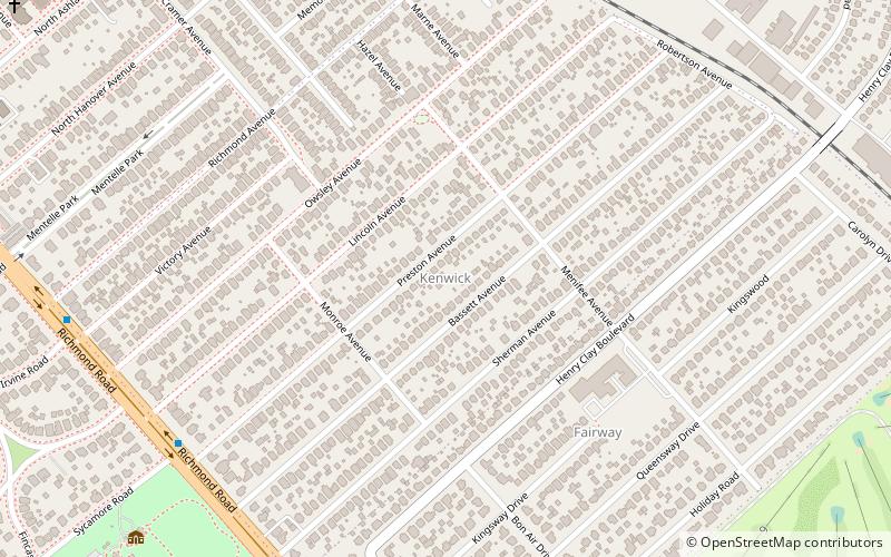
Kenwick is a neighborhood in southeastern Lexington, Kentucky, United States. Its boundaries are Sherman Avenue to the south, East Main Street to the west, railroad tracks to the north, and Richmond Avenue to the north. ()
Coordinates: 38°1'60"N, 84°28'26"W
Address
KenwickLexington
ContactAdd
Social media
Add
Day trips
Kenwick – popular in the area (distance from the attraction)
Nearby attractions include: Ashland, Kentucky Theater, Living Arts and Science Center, Hunt-Morgan House.
Frequently Asked Questions (FAQ)
Which popular attractions are close to Kenwick?
Nearby attractions include The Salon at Henry Clay, Lexington (11 min walk), Ashland, Lexington (12 min walk), Liberty Heights, Lexington (15 min walk), Bell Court, Lexington (20 min walk).
How to get to Kenwick by public transport?
The nearest stations to Kenwick:
Bus
Bus
- 202 Woodland @ Maxwell Inbound • Lines: 16 Southland Dr (28 min walk)
- 610 Maxwell @ 460 Outbound • Lines: 16 Southland Dr (29 min walk)


