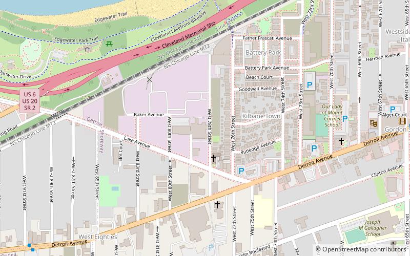
Detroit–Shoreway, Cleveland
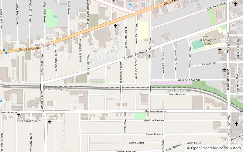
Map
Facts and practical information
Coordinates: 41°28'45"N, 81°44'16"W
Address
Detroit - ShorewayCleveland
ContactAdd
Social media
Add
Getting there by public transportation
Public transportation stops near this location
- Metro
 Metro
Metro
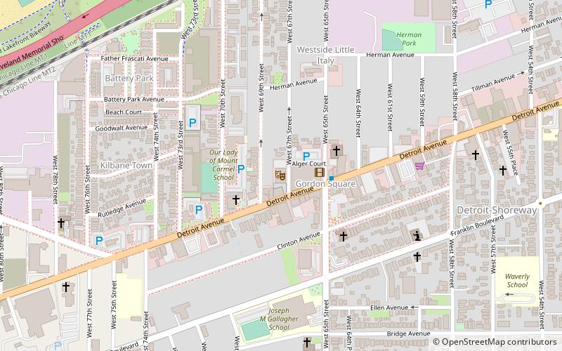
- Calculate routeWest 65th–Lorain 14 min walk
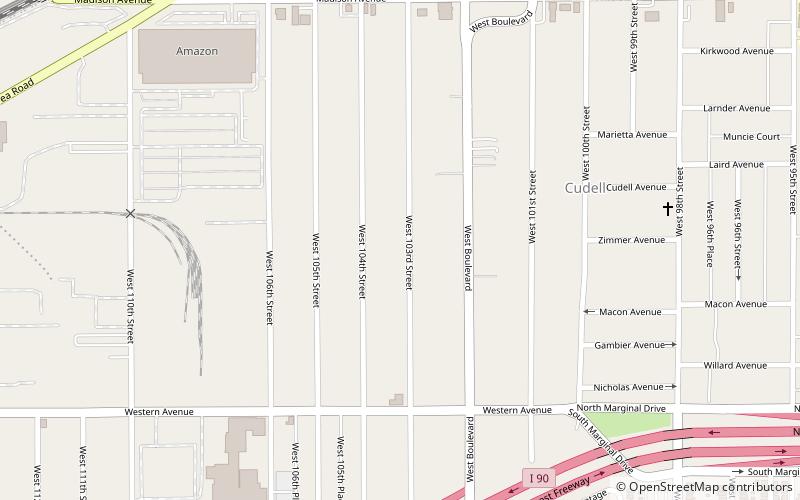
- Calculate routeWest Boulevard–Cudell 20 min walk
Day trips


Frequently Asked Questions (FAQ)
Which popular attractions are close to Detroit–Shoreway?
Nearby attractions include Blank Canvas Theatre, Cleveland (9 min walk), Near West Theatre, Cleveland (13 min walk), Cleveland Public Theatre, Cleveland (14 min walk), St. Stephen's Catholic Church, Cleveland (19 min walk).
How to get to Detroit–Shoreway by public transport?
The nearest stations to Detroit–Shoreway:
Metro
Metro
- West 65th–Lorain • Lines: Red (14 min walk)
- West Boulevard–Cudell • Lines: Red (20 min walk)