East High Street Historic District, Springfield
Map

Gallery

Facts and practical information
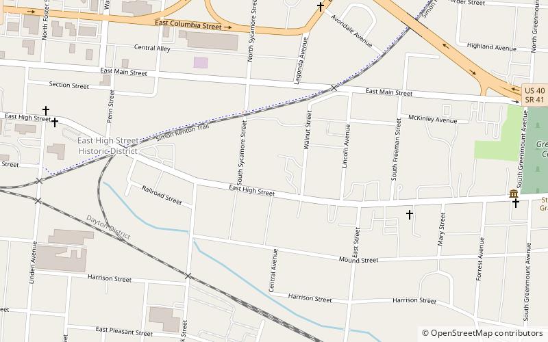
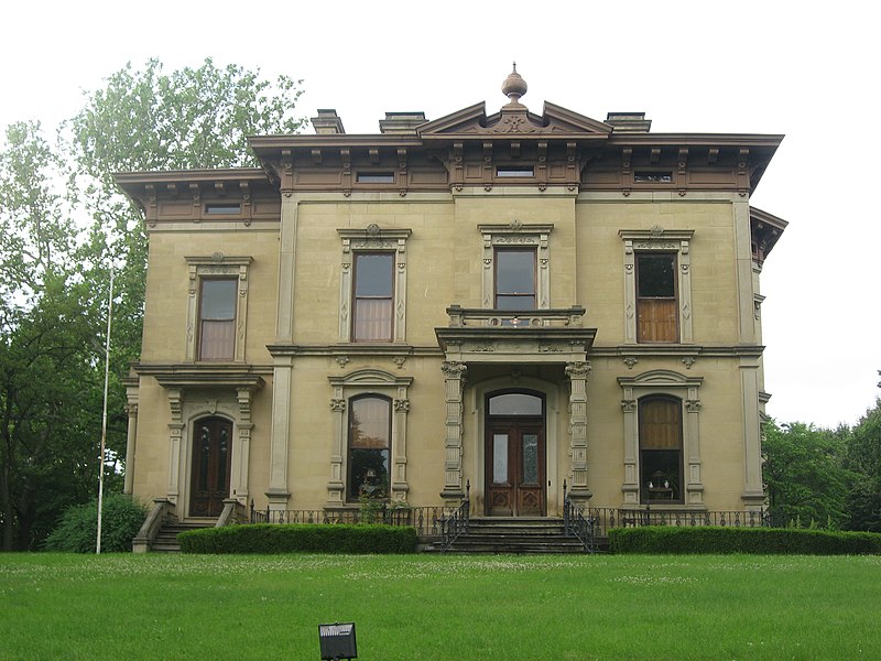
The East High Street Historic District is a cluster of mansions on the eastern side of Springfield, Ohio, United States. Located along one of Springfield's most important thoroughfares and once home to some of its most prominent residents, the cluster was named a historic district in 1974. ()
Coordinates: 39°55'18"N, 83°47'48"W
Address
Springfield
ContactAdd
Social media
Add
Day trips
East High Street Historic District – popular in the area (distance from the attraction)
Nearby attractions include: Carleton Davidson Stadium, Westcott House, Clark County Heritage Center, St. Raphael's Catholic Church.
Frequently Asked Questions (FAQ)
Which popular attractions are close to East High Street Historic District?
Nearby attractions include Westcott House, Springfield (11 min walk), St. Joseph's Catholic Church, Springfield (11 min walk), St. Raphael's Catholic Church, Springfield (14 min walk), Clark County Courthouse, Springfield (14 min walk).


