Carry Falls Reservoir

Map
Facts and practical information
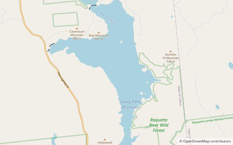
Carry Falls Reservoir is a man-made lake on the Raquette River, located southeast of Stark, New York. Fish species present in the reservoir are smallmouth bass, northern pike, yellow perch, black bullhead, tiger muskellunge, rock bass, and walleye. There is a state owned hard ramp boat launch located on the southwest shore. ()
Elevation: 1385 ft a.s.l.Coordinates: 44°24'25"N, 74°43'60"W
Location
New York
ContactAdd
Social media
Add
Day trips
Carry Falls Reservoir – popular in the area (distance from the attraction)
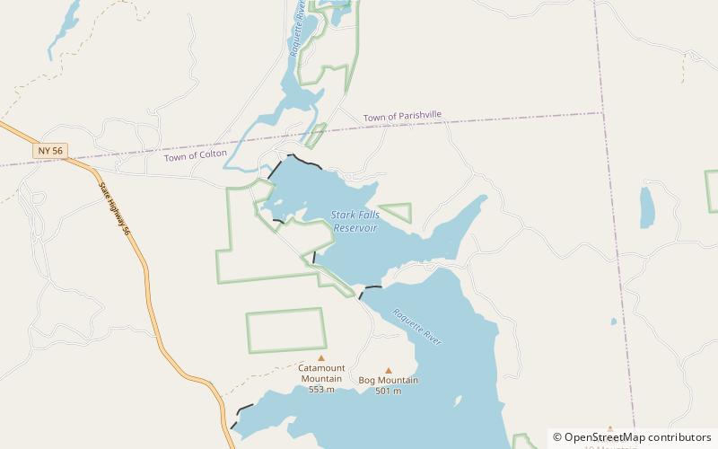
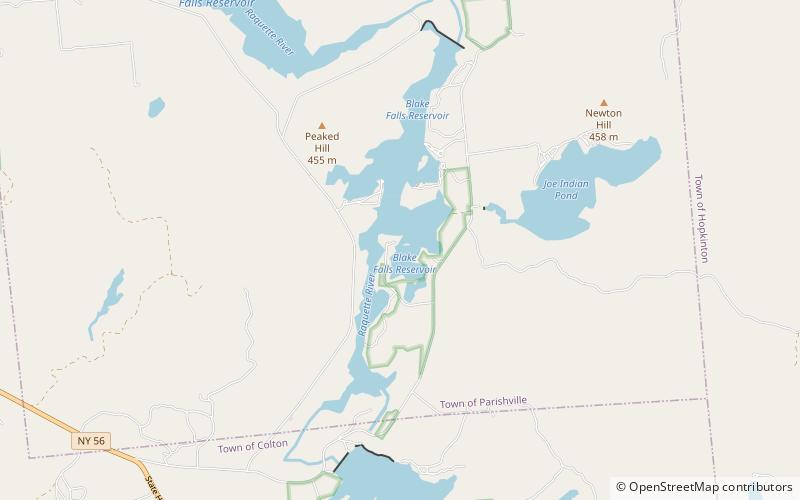
Nearby attractions include: Stark Falls Reservoir, Leonard Pond, Blake Falls Reservoir.


