Manhasset Viaduct, Port Washington North
Map

Map

Facts and practical information
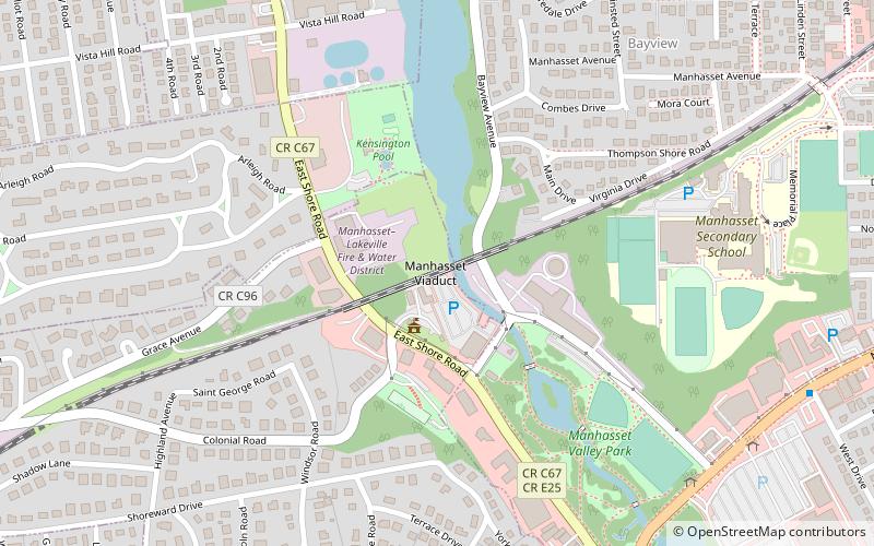
The Manhasset Viaduct is a railroad bridge located between the Village of Thomaston and the Hamlet of Manhasset, on Long Island, in the State of New York. It carries the Port Washington Branch of the Long Island Rail Road. ()
Coordinates: 40°47'33"N, 73°42'35"W
Address
ThomastonPort Washington North
ContactAdd
Social media
Add
Day trips
Manhasset Viaduct – popular in the area (distance from the attraction)
Nearby attractions include: Webster Avenue Bridge, Reconstructionist Synagogue, Plandome Heights, North Hempstead Town Hall.
Frequently Asked Questions (FAQ)
Which popular attractions are close to Manhasset Viaduct?
Nearby attractions include North Hempstead Town Hall, North Hempstead (16 min walk), Reconstructionist Synagogue, Port Washington North (23 min walk), Horatio Gates Onderdonk House, North Hempstead (24 min walk).
How to get to Manhasset Viaduct by public transport?
The nearest stations to Manhasset Viaduct:
Train
Bus
Train
- Manhasset (15 min walk)
- Great Neck (25 min walk)
Bus
- Northern Boulevard & Hereford Road • Lines: n20G (35 min walk)


