Smoketown, Louisville
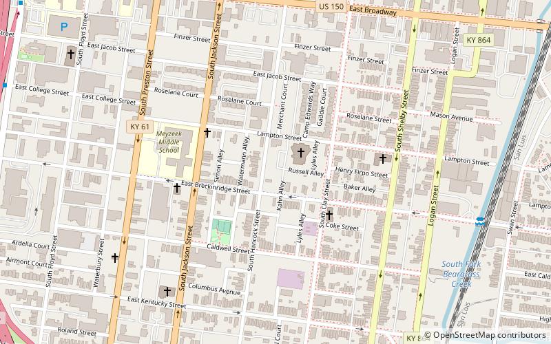
Map
Map

Facts and practical information
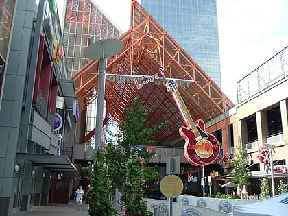
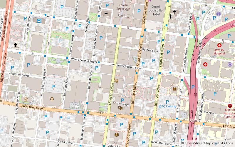
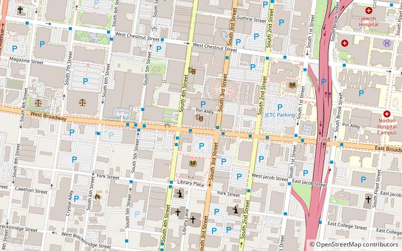
Smoketown is a neighborhood one mile southeast of downtown Louisville, Kentucky. Smoketown has been a historically black neighborhood since the Civil War. It is the only neighborhood in the city that has had such a continuous presence. Smoketown is bounded by Broadway, CSX railroad tracks, Kentucky Street, and I-65. ()
Coordinates: 38°14'27"N, 85°44'38"W
Address
Central Louisville (Smoketown)Louisville
ContactAdd
Social media
Add
Day trips
Smoketown – popular in the area (distance from the attraction)
Nearby attractions include: Louisville Slugger Field, Fourth Street Live!, Kentucky International Convention Center, Mercury Ballroom.
Frequently Asked Questions (FAQ)
Which popular attractions are close to Smoketown?
Nearby attractions include St. Vincent de Paul Catholic Church, Louisville (15 min walk), Shelby Park Neighborhood Association, Louisville (15 min walk), Phoenix Hill, Louisville (16 min walk), College Street Presbyterian Church, Louisville (16 min walk).
How to get to Smoketown by public transport?
The nearest stations to Smoketown:
Bus
Bus
- College / Brook • Lines: 52 (13 min walk)
- Brook / Broadway • Lines: 52 (14 min walk)


