Cameron Village Historic District, Raleigh
Map

Gallery

Facts and practical information
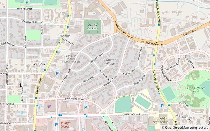
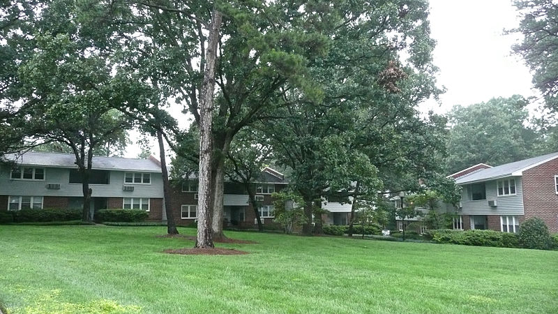
Cameron Village Historic District in Raleigh, North Carolina is a national historic district listed in 2011 on the National Register of Historic Places. The district encompasses 93 contributing buildings and 1 contributing object and was developed between about 1950 and 1955. It is considered North Carolina's first planned mixed-use development. ()
Coordinates: 35°47'39"N, 78°39'26"W
Address
Hillsborough (Cameron Village)Raleigh
ContactAdd
Social media
Add
Day trips
Cameron Village Historic District – popular in the area (distance from the attraction)
Nearby attractions include: NCSU Belltower, Pullen Park Carousel, Reynolds Coliseum, The Pour House Music Hall.
Frequently Asked Questions (FAQ)
Which popular attractions are close to Cameron Village Historic District?
Nearby attractions include Wachovia Building Company Contemporary Ranch House, Raleigh (5 min walk), John T. and Mary Turner House, Raleigh (8 min walk), Maiden Lane Historic District, Raleigh (14 min walk), Isabelle Bowen Henderson House and Gardens, Raleigh (14 min walk).
How to get to Cameron Village Historic District by public transport?
The nearest stations to Cameron Village Historic District:
Bus
Train
Bus
- St Marys St at Nichols Dr • Lines: 8 (6 min walk)
- Oberlin Rd at Van Dyke Ave • Lines: 16 (6 min walk)
Train
- Raleigh (33 min walk)


