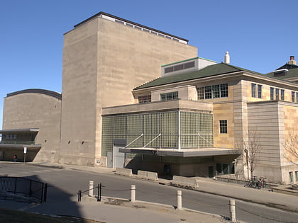
Stock Pavilion, Madison
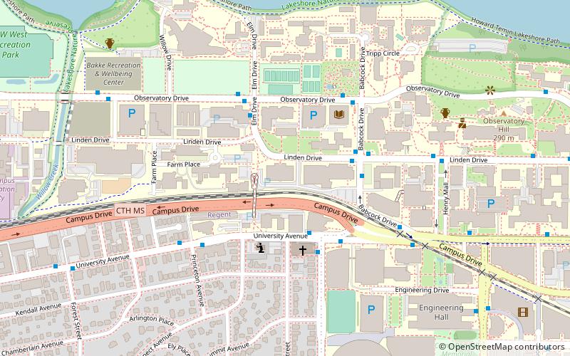
Map

Map

Facts and practical information
The Stock Pavilion is part of the University of Wisconsin–Madison. ()
Coordinates: 43°4'29"N, 89°24'54"W
Address
Near WestMadison
ContactAdd
Social media
Add
Day trips
Stock Pavilion – popular in the area (distance from the attraction)
Nearby attractions include: Memorial Union Terrace, Camp Randall Stadium, Kohl Center, Wisconsin Union Theater.
Frequently Asked Questions (FAQ)
Which popular attractions are close to Stock Pavilion?
Nearby attractions include Steenbock Memorial Library, Madison (4 min walk), Allen Centennial Gardens, Madison (5 min walk), Agricultural Engineering Building, Madison (6 min walk), Old U.S. Forest Products Laboratory, Madison (6 min walk).
How to get to Stock Pavilion by public transport?
The nearest stations to Stock Pavilion:
Bus
Bus
- Campus & Babcock • Lines: 15 (6 min walk)
- W Johnson & N Mills • Lines: 15 (15 min walk)


