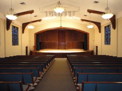
Tupelo micropolitan area, Tupelo
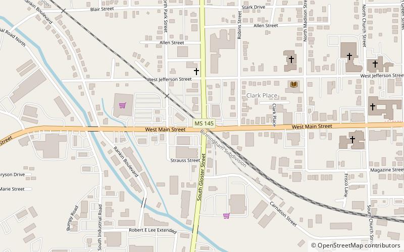
Map
Facts and practical information
The Tupelo Micropolitan Statistical Area is a micropolitan area in northeastern Mississippi that covers three counties—Itawamba, Lee and Pontotoc. As of the 2000 census, the area had a population of 163,398. ()
Area: 1494 mi²Coordinates: 34°15'26"N, 88°42'56"W
Address
GravleeTupelo
ContactAdd
Social media
Add
Day trips
Tupelo micropolitan area – popular in the area (distance from the attraction)
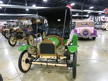
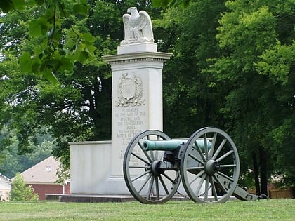
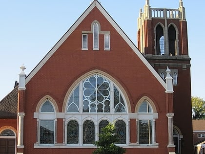
Nearby attractions include: Tupelo Automobile Museum, Tupelo National Battlefield, First Methodist Church, The Caron Gallery.
Frequently Asked Questions (FAQ)
Which popular attractions are close to Tupelo micropolitan area?
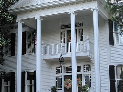
Nearby attractions include First Methodist Church, Tupelo (12 min walk), Stewart-Anderson House, Tupelo (13 min walk), North Broadway Historic District, Tupelo (16 min walk), The Caron Gallery, Tupelo (17 min walk).
