Palolo, Honolulu
Map

Map

Facts and practical information
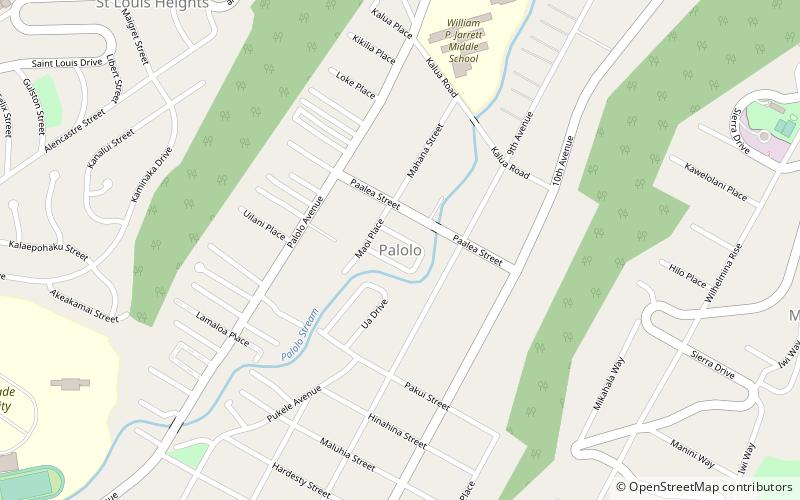
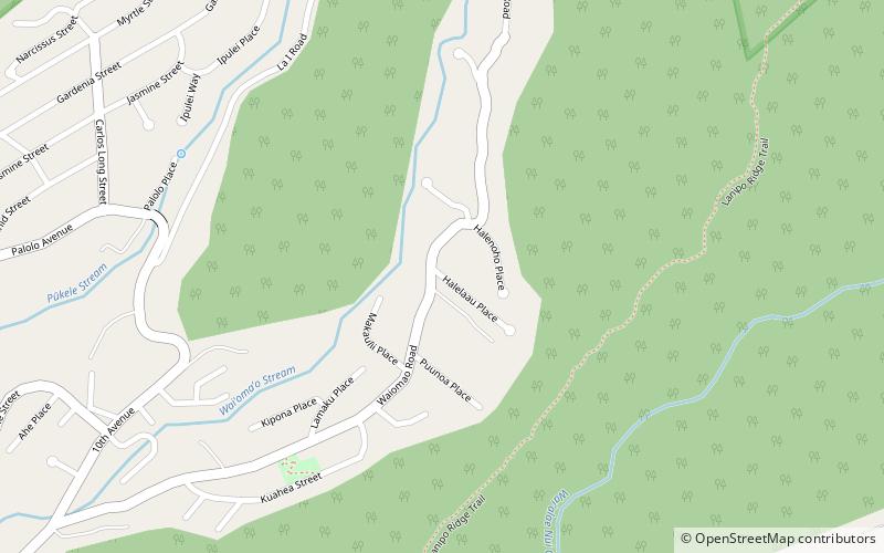
Pālolo is the name of a valley, stream, and residential neighborhood in Honolulu, Hawaii, the United States. The area lies approximately four miles east and inland from downtown Honolulu, less than a mile from Diamond Head. Like many of Hawaii's neighborhoods, Pālolo consists of an entire valley. The mauka of the valley is agricultural in nature. The makai of the valley ends approximately at Waiʻalae Avenue and is densely settled, mostly with single-family homes. ()
Address
PaloloHonolulu
ContactAdd
Social media
Add
Day trips
Palolo – popular in the area (distance from the attraction)
Nearby attractions include: Kahala Mall, Saint Patrick Catholic Church, Hawaii Center for Volcanology, Hamilton Library.
Frequently Asked Questions (FAQ)
Which popular attractions are close to Palolo?
Nearby attractions include Lemon Wond Holt House, Honolulu (14 min walk), Saint Patrick Catholic Church, Honolulu (18 min walk), Kaimuki, Honolulu (20 min walk).
How to get to Palolo by public transport?
The nearest stations to Palolo:
Bus
Bus
- Saint Louis Drive + Waialae Avenue • Lines: 13, 14, 18, 85, 86, 87 (22 min walk)
- Maile Way + East-West Road • Lines: 6, 80A (32 min walk)


