Van Buren Trail State Park, South Haven

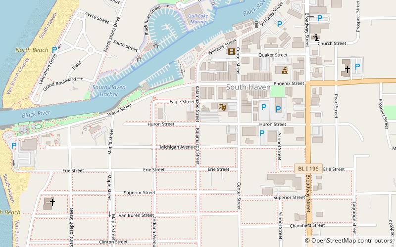
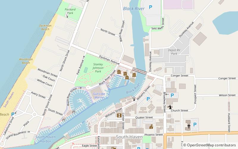
Map
Facts and practical information
Van Buren Trail State Park, also known as Trail State Park, is an unimproved rail trail running along a former railroad right-of-way between Hartford, Michigan to South Haven, Michigan in Van Buren County. It is 14 miles long and mostly used by horse trail riders in the summer and snowmobilers in the winter. Terrain is flat with farmland and trees. ()
Elevation: 614 ft a.s.l.Coordinates: 42°24'7"N, 86°16'33"W
Day trips
Van Buren Trail State Park – popular in the area (distance from the attraction)
Nearby attractions include: South Haven Light, Michigan Maritime Museum, South Haven Ice Rink, Friends Good Will.
Frequently Asked Questions (FAQ)
Which popular attractions are close to Van Buren Trail State Park?
Nearby attractions include Friends Good Will, South Haven (8 min walk), Michigan Maritime Museum, South Haven (9 min walk), South Haven Light, South Haven (16 min walk), Liberty Hyde Bailey Museum, South Haven (24 min walk).


