Port of Everett, Everett
Map
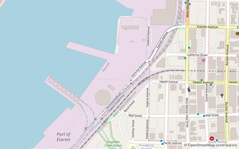
Map

Facts and practical information
The Port of Everett is a public seaport authority located on Port Gardner Bay in Everett, Washington, United States. Founded in 1918, it operates a small cargo terminal, a public marina, waterfront real estate, and public recreational lands. The Port of Everett is the third-largest container port in the state of Washington, behind Tacoma and Seattle. ()
Coordinates: 47°58'47"N, 122°13'9"W
Address
BaysideEverett
ContactAdd
Social media
Add
Day trips
Port of Everett – popular in the area (distance from the attraction)
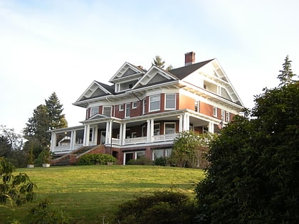
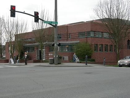
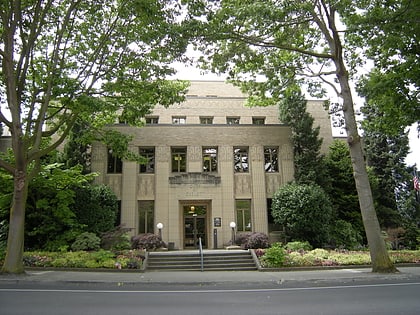
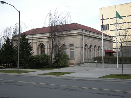
Nearby attractions include: Xfinity Arena, Imagine Children's Museum, Rucker Mansion, Everett Public Library.
Frequently Asked Questions (FAQ)
Which popular attractions are close to Port of Everett?
Nearby attractions include Schack Art Center, Everett (11 min walk), Imagine Children's Museum, Everett (12 min walk), Everett Public Library, Everett (12 min walk), Rucker Mansion, Everett (12 min walk).
How to get to Port of Everett by public transport?
The nearest stations to Port of Everett:
Bus
Train
Bus
- W MARINE VIEW DR and CALIFORNIA ST • Lines: 6 North, 6 South (7 min walk)
- PACIFIC AVE and NASSAU ST • Lines: 5 (7 min walk)
Train
- Everett (27 min walk)


