San Antonio Springs, San Antonio
Map
Facts and practical information
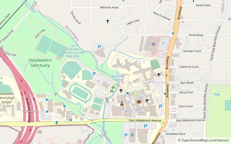
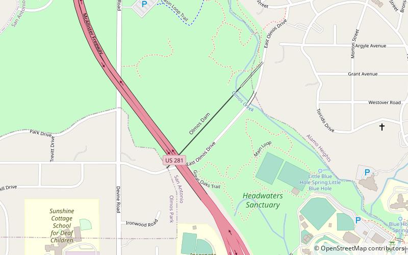
San Antonio Springs is a cluster of springs in Bexar County, Texas. These springs provide a large portion of the water for the San Antonio River, which flows from San Antonio to the Gulf of Mexico. The San Pedro Springs also feed into the San Antonio River. ()
Coordinates: 29°28'8"N, 98°28'3"W
Address
Central City (Alamo Heights)San Antonio
ContactAdd
Social media
Add
Getting there by public transportation
Public transportation stops near this location
- Train
 Train
Train
- Calculate routeSan Antonio Zoo Eagle Train Station 17 min walk
Day trips


Frequently Asked Questions (FAQ)
Which popular attractions are close to San Antonio Springs?
Nearby attractions include Broadway Tower, San Antonio (9 min walk), San Antonio Zoo, San Antonio (13 min walk), Witte Museum, San Antonio (13 min walk), Olmos Dam, San Antonio (14 min walk).
How to get to San Antonio Springs by public transport?
The nearest stations to San Antonio Springs:
Train
Train
- San Antonio Zoo Eagle Train Station (17 min walk)