Roslyn Village Historic District, Port Washington North
Map

Map

Facts and practical information
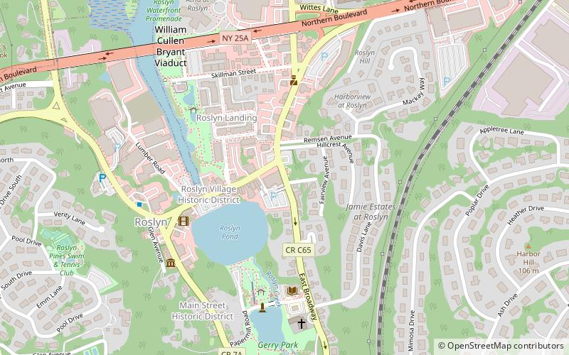
The Roslyn Village Historic District encompasses the center of that village in the U.S. state of New York. It includes within its boundaries the earlier Main Street Historic District, although that is considered a separate district by the National Park Service, which added the Roslyn Village district to the National Register of Historic Places in 1987. ()
Coordinates: 40°48'3"N, 73°38'49"W
Address
Greater Roslyn (Roslyn)Port Washington North
ContactAdd
Social media
Add
Day trips
Roslyn Village Historic District – popular in the area (distance from the attraction)
Nearby attractions include: Nassau County Museum of Art, Cedarmere, My Father's Place, Christopher Morley County Park.
Frequently Asked Questions (FAQ)
Which popular attractions are close to Roslyn Village Historic District?
Nearby attractions include Roslyn Savings Bank Building, North Hempstead (2 min walk), Roslyn Pond, Port Washington North (4 min walk), Roslyn Grist Mill, North Hempstead (4 min walk), The Bryant Library, North Hempstead (5 min walk).
How to get to Roslyn Village Historic District by public transport?
The nearest stations to Roslyn Village Historic District:
Train
Train
- Roslyn (19 min walk)
- Greenvale (38 min walk)


