Fort Anderson, Paducah
Map

Map

Facts and practical information
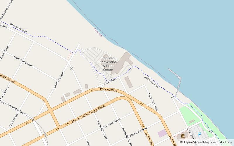
Fort Anderson, in Paducah, Kentucky was the site of the Battle of Paducah. Originally a supply depot, it was rebuilt as a seven-gun fort. Fort Anderson was 400 feet long and ran 160 feet toward the Ohio River, surrounded on the west, north and south by 50 foot ditches filled with water. The fort was commanded by Colonel Stephen G. Hicks, a federal commander. The fort was occupied by 665 men. ()
Coordinates: 37°5'35"N, 88°36'7"W
Address
Downtown PaducahPaducah
ContactAdd
Social media
Add
Day trips
Fort Anderson – popular in the area (distance from the attraction)
Nearby attractions include: The National Quilt Museum, River Discovery Center, St. Francis de Sales Catholic Church, Lloyd Tilghman House.
Frequently Asked Questions (FAQ)
Which popular attractions are close to Fort Anderson?
Nearby attractions include David Yeiser House, Paducah (7 min walk), The National Quilt Museum, Paducah (10 min walk), St. Francis de Sales Catholic Church, Paducah (14 min walk), River Discovery Center, Paducah (15 min walk).


