Ivywild, Colorado Springs
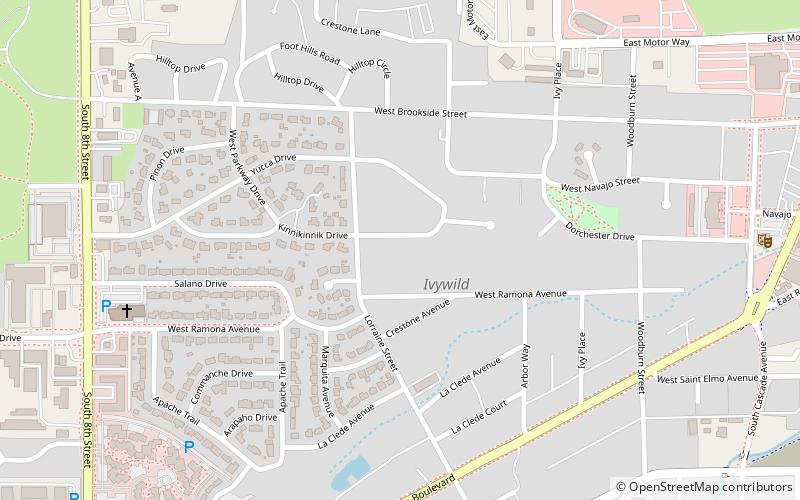
Map
Facts and practical information
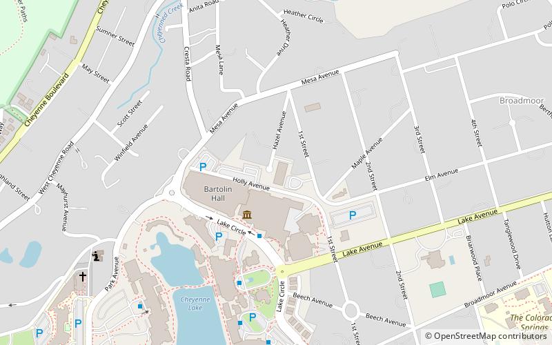
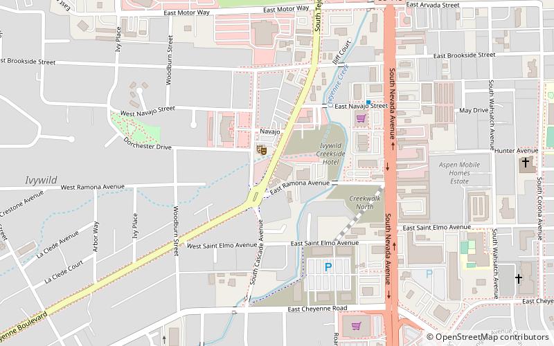
Ivywild, Colorado, is a subdivision of Colorado Springs south of the downtown, west of Cascade Avenue and along Cheyenne Creek. As of 2015, the United States Geological Survey defines Ivywild as a Populated Place. It is one of the city's oldest working-class neighborhoods. ()
Coordinates: 38°48'37"N, 104°50'3"W
Address
Central Colorado City (Ivywild)Colorado Springs
ContactAdd
Social media
Add
Day trips
Ivywild – popular in the area (distance from the attraction)
Nearby attractions include: World Figure Skating Hall of Fame, Chadbourn Spanish Gospel Mission, Penrose Heritage Museum, John Wolfe House.
Frequently Asked Questions (FAQ)
Which popular attractions are close to Ivywild?
Nearby attractions include The Millibo Art Theatre, Colorado Springs (12 min walk), John Wolfe House, Colorado Springs (23 min walk).
How to get to Ivywild by public transport?
The nearest stations to Ivywild:
Bus
Bus
- Tejon Park-n-Ride • Lines: CDOT Bustang Outrider (18 min walk)
