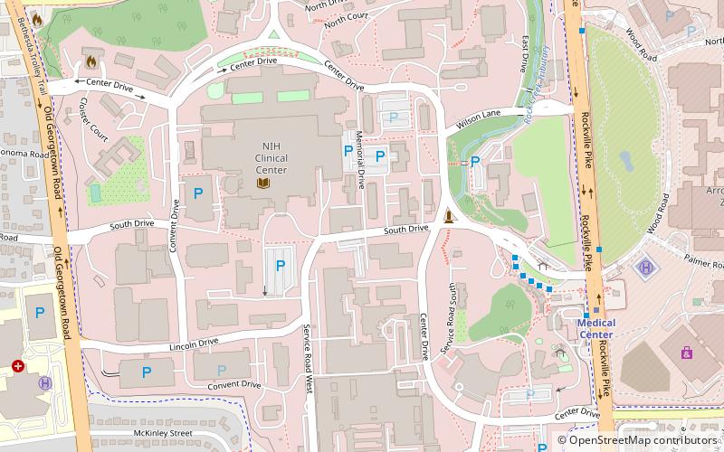
National Institutes of Health campus, Bethesda
Map
Facts and practical information
The National Institutes of Health campus is located in Bethesda, Maryland. Most of the institutes house their Divisions of Intramural Research on this campus spread out among various buildings. ()
Coordinates: 39°0'1"N, 77°6'9"W
Getting there by public transportation
Public transportation stops near this location
- Metro
- Bus
 Metro
Metro
- Calculate routeC 6 min walk
- Calculate routeD 6 min walk
- Calculate routeE 7 min walk
- Calculate routeF 7 min walk
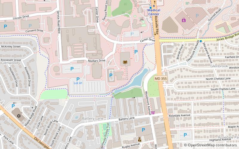
- Calculate routeMedical Center 9 min walk
- Calculate routeBethesda 31 min walk
Day trips


Frequently Asked Questions (FAQ)
Which popular attractions are close to National Institutes of Health campus?
Nearby attractions include United States National Library of Medicine, Bethesda (10 min walk), National Center for Biotechnology Information, Bethesda (11 min walk), Congregation Beth El, Bethesda (15 min walk), Bethesda Meeting House, Bethesda (18 min walk).
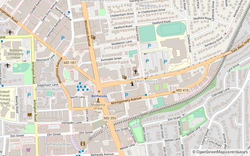
How to get to National Institutes of Health campus by public transport?
The nearest stations to National Institutes of Health campus:
Bus
Metro
Bus
- C • Lines: 30, 33, 70 (6 min walk)
- D • Lines: 34 (6 min walk)
Metro
- Medical Center • Lines: Rd (9 min walk)
- Bethesda • Lines: Rd (31 min walk)