Tropic Shale, Tropic
Map

Map

Facts and practical information
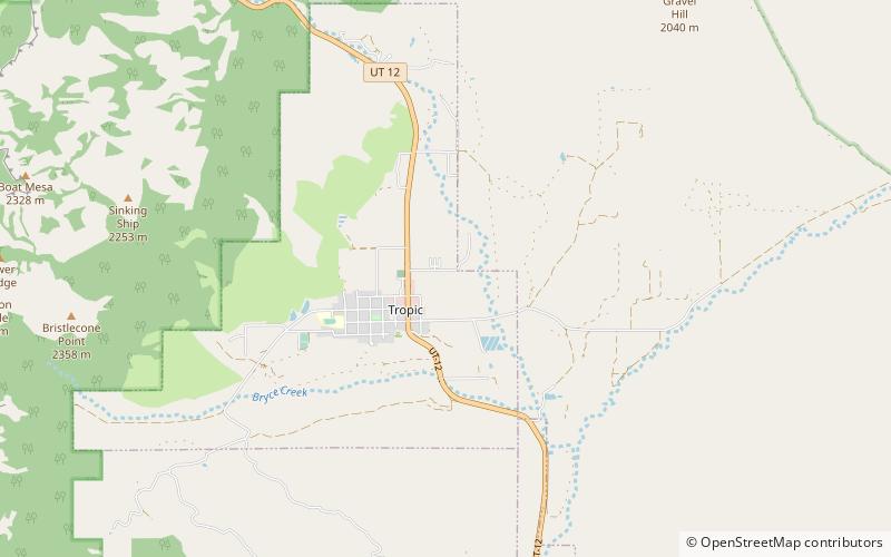
The Tropic Shale is a Mesozoic geologic formation. Dinosaur remains are among the fossils that have been recovered from the formation, including Nothronychus graffami. The Tropic Shale is a stratigraphic unit of the Kaiparowits Plateau of south central Utah. The Tropic Shale was first named in 1931 after the town of Tropic where the Type section is located. The Tropic Shale outcrops in Kane and Garfield counties, with large sections of exposure found in the Grand Staircase-Escalante National Monument. ()
Coordinates: 37°37'44"N, 112°4'34"W
Address
Tropic
ContactAdd
Social media
Add
Day trips
Tropic Shale – popular in the area (distance from the attraction)
Nearby attractions include: Under-the-Rim Trail, Cannonville, Bryce Canyon National Park Scenic Trails Historic District.


