Ingersoll Place Plat Historic District, Des Moines
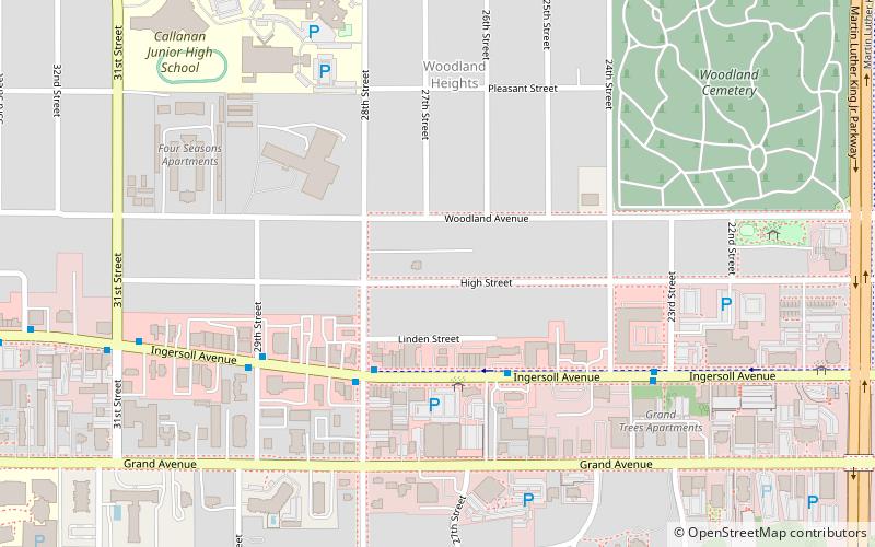
Map

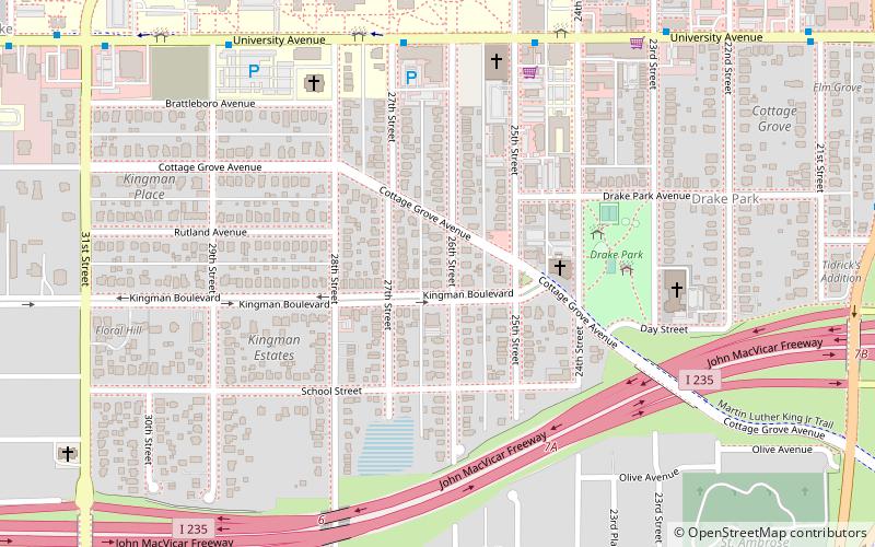
Map

Facts and practical information
The Ingersoll Place Plat Historic District is located in Des Moines, Iowa, United States. It has been listed on the National Register of Historic Places since 2000. The historic significance of the district is based on the concentration of bungalows and square houses as well as a mix of subtypes. ()
Coordinates: 41°35'14"N, 93°39'11"W
Address
Woodland HeightsDes Moines
ContactAdd
Social media
Add
Day trips
Ingersoll Place Plat Historic District – popular in the area (distance from the attraction)
Nearby attractions include: Drake Stadium, Terrace Hill, Hoyt Sherman Place, Cottage Grove Avenue Presbyterian Church.
Frequently Asked Questions (FAQ)
Which popular attractions are close to Ingersoll Place Plat Historic District?
Nearby attractions include Mahnke House, Des Moines (1 min walk), Tandem Brick Gallery, Des Moines (4 min walk), Woodland Place Historic District, Des Moines (6 min walk), Moberg Gallery, Des Moines (7 min walk).
How to get to Ingersoll Place Plat Historic District by public transport?
The nearest stations to Ingersoll Place Plat Historic District:
Bus
Bus
- 2610 Ingersoll Ave • Lines: 60 (3 min walk)
- Ingersoll Ave & 23rd St • Lines: 60 (7 min walk)


