Waterville Main Street Historic District, Waterville
Map
Facts and practical information
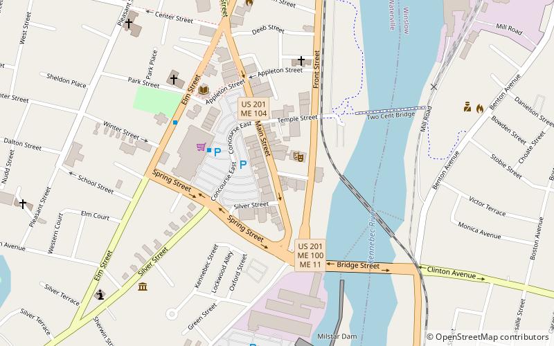
The Waterville Main Street Historic District encompasses the best-preserved portions of the historical commercial downtown area of Waterville, Maine. Developed most intensively in the late 19th and early 20th centuries, this area was the center of commerce for Waterville and the surrounding rural communities. It encompasses 25 properties on Main and Common Streets, including the Waterville Opera House and City Hall. It was listed on the National Register of Historic Places in 2012, and was slightly enlarged in 2016. ()
Coordinates: 44°32'58"N, 69°37'47"W
Address
Waterville
ContactAdd
Social media
Add
Getting there by public transportation
Public transportation stops near this location
- Bus
 Bus
Bus
- Calculate routeWaterville Concourse 3 min walk
- Calculate routeElm Towers 5 min walk
- Calculate routeMaineGeneral Thayer 36 min walk
Day trips
Waterville Main Street Historic District – popular in the area (distance from the attraction)
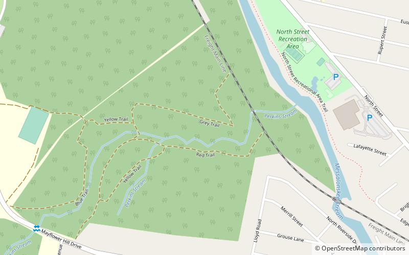
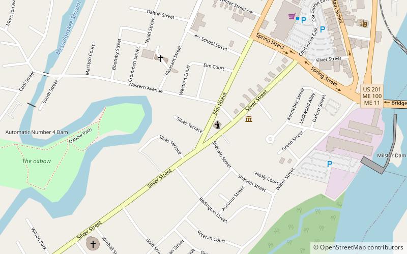
Nearby attractions include: Two Cent Bridge, Waterville Opera House and City Hall, Perkins Arboretum, Redington Museum.


Frequently Asked Questions (FAQ)
Which popular attractions are close to Waterville Main Street Historic District?
Nearby attractions include Common Street Arts, Waterville (1 min walk), Waterville Opera House and City Hall, Waterville (1 min walk), Alvin O. Lombard House, Waterville (5 min walk), Waterville Public Library, Waterville (5 min walk).
How to get to Waterville Main Street Historic District by public transport?
The nearest stations to Waterville Main Street Historic District:
Bus
Bus
- Waterville Concourse • Lines: Walmart & Fairfield (3 min walk)
- Elm Towers • Lines: Walmart & Fairfield (5 min walk)