South Main Street Residential Historic District, Little Rock
Map

Map

Facts and practical information
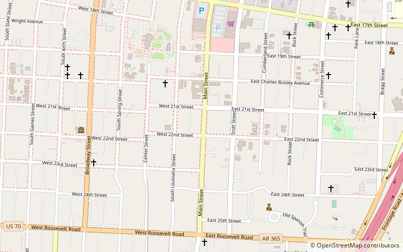
The South Main Street Residential Historic District encompasses a residential area south of downtown Little Rock, Arkansas. The area, extending along South Main Street roughly between 19th and 23rd Streets, was developed between about 1880 and 1945, and includes a well-preserved set of residential architecture from that period. Notable buildings include the Luxor Apartments, the Holcomb Court Apartments, and the Ada Thompson Memorial Home. ()
Coordinates: 34°43'41"N, 92°16'26"W
Address
Quapaw QuarterLittle Rock
ContactAdd
Social media
Add
Day trips
South Main Street Residential Historic District – popular in the area (distance from the attraction)
Nearby attractions include: Arkansas Arts Center, Arkansas Repertory Theatre, Arkansas Governor's Mansion, Central Presbyterian Church.
Frequently Asked Questions (FAQ)
Which popular attractions are close to South Main Street Residential Historic District?
Nearby attractions include Mehaffey House, Little Rock (2 min walk), Hornibrook House, Little Rock (2 min walk), South Main Street Apartments Historic District, Little Rock (3 min walk), Trinity Hospital, Little Rock (3 min walk).
How to get to South Main Street Residential Historic District by public transport?
The nearest stations to South Main Street Residential Historic District:
Bus
Tram
Bus
- Central Arkansas Transit Authority Bus Terminal (30 min walk)
Tram
- World Avenue & 3rd Street • Lines: Blue, Green (37 min walk)


