San Marcos Springs, San Marcos
Map

Gallery

Facts and practical information
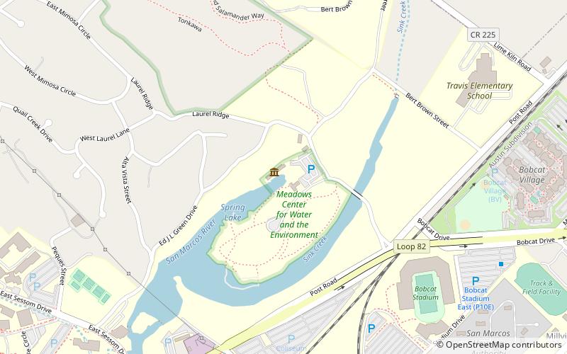
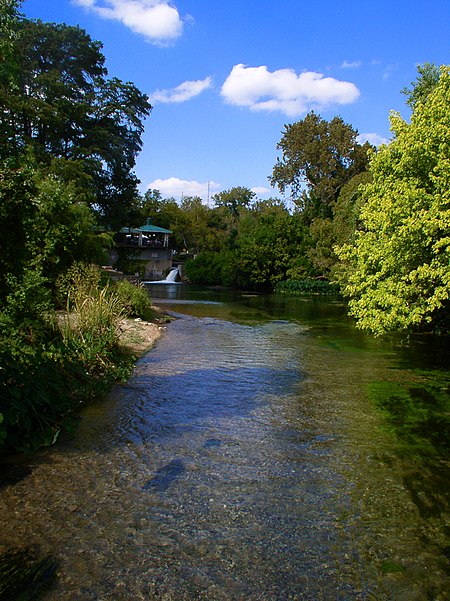
San Marcos Springs is the second largest natural cluster of springs in Texas. The springs are located in the city of San Marcos, Texas, about 30 miles southwest of Austin and 46 miles northeast of San Antonio. ()
Coordinates: 29°53'39"N, 97°55'48"W
Address
San Marcos
ContactAdd
Social media
Add
Day trips
San Marcos Springs – popular in the area (distance from the attraction)
Nearby attractions include: Meadows Center for Water and the Environment, Bobcat Stadium, First United Methodist Church, Rio Vista Park.
Frequently Asked Questions (FAQ)
Which popular attractions are close to San Marcos Springs?
Nearby attractions include The Texas State University Golf Course, San Marcos (9 min walk), Bobcat Stadium, San Marcos (9 min walk), San Marcos Public Library, San Marcos (16 min walk), Old Main, San Marcos (17 min walk).
How to get to San Marcos Springs by public transport?
The nearest stations to San Marcos Springs:
Bus
Bus
- North Guadalupe & Woods • Lines: 1510 (22 min walk)


