Rufus C. Holman House, Portland
Map

Map

Facts and practical information
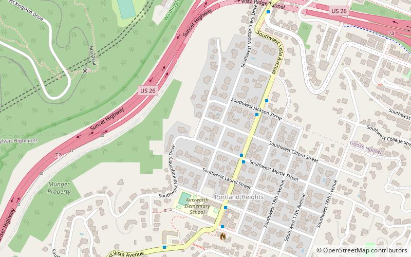
The Rufus C. Holman House is a house located in southwest Portland, Oregon, listed on the National Register of Historic Places. It is located in the Southwest Hills neighborhood. ()
Coordinates: 45°30'44"N, 122°41'58"W
Address
Southwest HillsPortland
ContactAdd
Social media
Add
Day trips
Rufus C. Holman House – popular in the area (distance from the attraction)
Nearby attractions include: Crystal Ballroom, Nordstrom, Portland Farmers Market, Mark Building.
Frequently Asked Questions (FAQ)
Which popular attractions are close to Rufus C. Holman House?
Nearby attractions include Edward D. Kingsley House, Portland (1 min walk), Dr. Herbert S. Nichols House, Portland (4 min walk), Arthur Champlin Spencer and Margaret Fenton Spencer House, Portland (5 min walk), Annand–Loomis House, Portland (6 min walk).
How to get to Rufus C. Holman House by public transport?
The nearest stations to Rufus C. Holman House:
Bus
Light rail
Tram
Train
Bus
- Southwest Vista & Myrtle • Lines: 51 (3 min walk)
Light rail
- Goose Hollow/Southwest Jefferson Street • Lines: Blue, Red (13 min walk)
- PSU South/Southwest 6th & College • Lines: Green, Orange, Yellow (21 min walk)
Tram
- Southwest 11th & Clay • Lines: B, Ns (18 min walk)
- Southwest 10th & Clay • Lines: A, Ns (19 min walk)
Train
- Portland Union Station (41 min walk)


