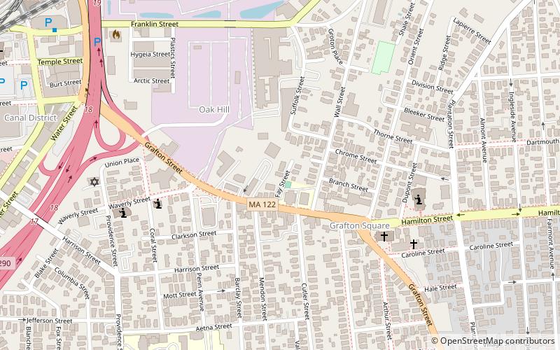
Fay Street Historic District, Worcester
Map

Map

Facts and practical information
The Fay Street Historic District a small residential historic district encompassing two related triple decker houses in Worcester, Massachusetts. Built about 1896, they were noted for the preservation of their Queen Anne styling, which has since been removed. They were listed on the National Register of Historic Places in 1990. ()
Coordinates: 42°15'25"N, 71°47'16"W
Address
East Worcester (Franklin Plantation)Worcester
ContactAdd
Social media
Add
Day trips
Fay Street Historic District – popular in the area (distance from the attraction)
Nearby attractions include: DCU Center, Worcester Art Museum, Armsby Abbey, Worcester City Hall and Common.
Frequently Asked Questions (FAQ)
Which popular attractions are close to Fay Street Historic District?
Nearby attractions include Arad Alexander House, Worcester (7 min walk), Shaarai Torah Synagogue, Worcester (8 min walk), Houghton Street Historic District, Worcester (8 min walk), Edna Stoliker Three-Decker, Worcester (10 min walk).
How to get to Fay Street Historic District by public transport?
The nearest stations to Fay Street Historic District:
Train
Bus
Train
- Worcester (13 min walk)
Bus
- Worcester Bus Station (13 min walk)
- WRTA Transportation Hub (14 min walk)


