Elmwood Historic District, Providence
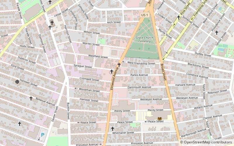
Map

Gallery
Facts and practical information
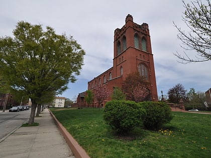
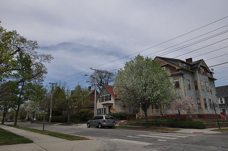
The Elmwood Historic District encompasses two large residential sections of the Elmwood neighborhood of Providence, Rhode Island. The Elmwood area was mainly farmland until the mid-19th century, when its development as a residential area began, and these two sections represents well-preserved neighborhoods developed between about 1850 and 1920. The district was listed on the National Register of Historic Places in 1980. ()
Coordinates: 41°47'54"N, 71°25'14"W
Address
ElmwoodProvidence
ContactAdd
Social media
Add
Day trips
Elmwood Historic District – popular in the area (distance from the attraction)
Nearby attractions include: Roger Williams Park Zoo, Roosevelt Lake, The Zoo In Forest Park, Roger Williams Park Museum of Natural History and Planetarium.
Frequently Asked Questions (FAQ)
Which popular attractions are close to Elmwood Historic District?
Nearby attractions include Statue of Christopher Columbus, Providence (8 min walk), St. Michael's Roman Catholic Church, Providence (11 min walk), South Providence Library-Providence Community Library, Providence (13 min walk), Temple Beth-El, Providence (13 min walk).
How to get to Elmwood Historic District by public transport?
The nearest stations to Elmwood Historic District:
Bus
Bus
- Pontiac and Richfield • Lines: 21 (26 min walk)
- Eddy and Borden • Lines: 3, 3A, 3B (30 min walk)


