Deering Street Historic District, Portland
Map
Gallery
Facts and practical information
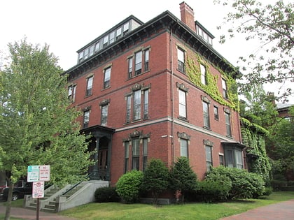
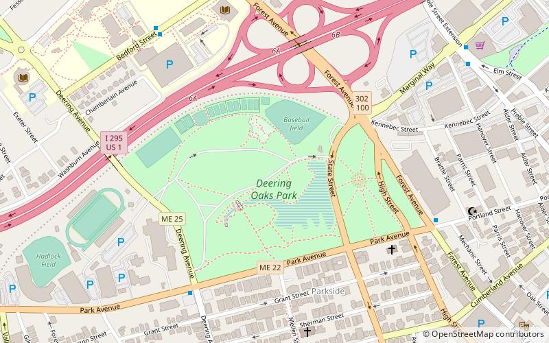
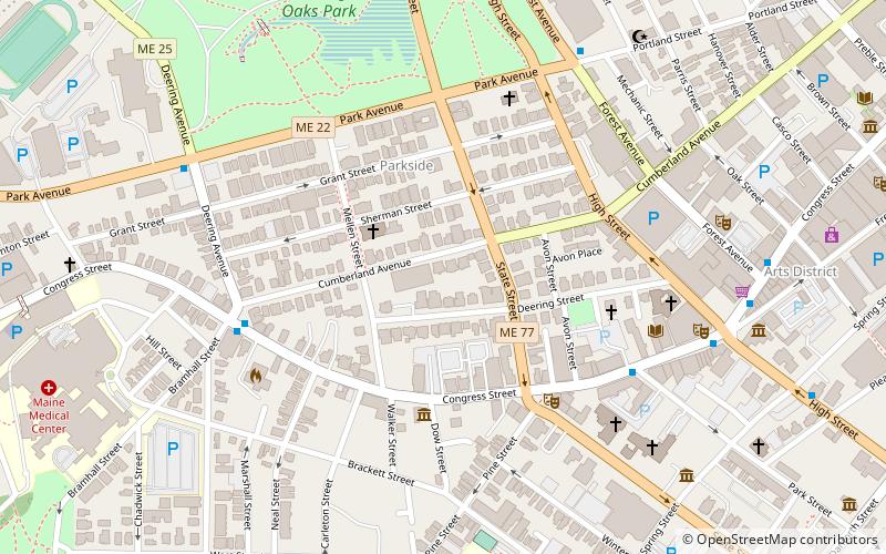
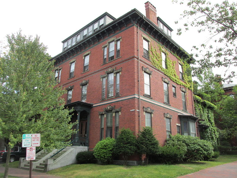
The Deering Street Historic District is a historic district in the Downtown and Parkside neighborhoods of Portland, Maine. Encompassing all of Deering Street and much of State Street, as well as adjacent portions of Congress and Mellen Streets, it is a cohesive collection of high quality architect-designed buildings from the second half of the 19th century, that were originally predominantly residential in nature. The district was added to the National Register of Historic Places in 1983. ()
Coordinates: 43°39'17"N, 70°16'7"W
Address
ParksidePortland
ContactAdd
Social media
Add
Day trips
Deering Street Historic District – popular in the area (distance from the attraction)
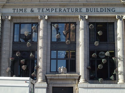
Nearby attractions include: Cross Insurance Arena, Time and Temperature Building, Hadlock Field, Thomas Brackett Reed House.
Frequently Asked Questions (FAQ)
Which popular attractions are close to Deering Street Historic District?
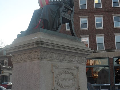
Nearby attractions include Neal Dow House, Portland (4 min walk), One Longfellow Square, Portland (4 min walk), State Street Church United Church of Christ, Portland (5 min walk), Baxter Building, Portland (6 min walk).
How to get to Deering Street Historic District by public transport?
The nearest stations to Deering Street Historic District:
Bus
Ferry
Train
Bus
- Congress St + Deering Ave • Lines: 9A, Brz (6 min walk)
- Congress St + Bramhall St • Lines: METRO BREEZ Outbound, ZOOM Express STC (6 min walk)
Ferry
- Casco Bay Lines Ferry Terminal (27 min walk)
Train
- Portland (29 min walk)

